Small airport · Belize
Punta Gorda AirportBZ-PND
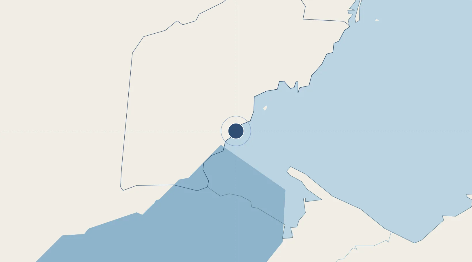
16.1024°, -88.8083°
2,372 ft
Longest runway
1
Runways
7 ft
Elevation
Runway & Layout

Runways · 1
| Runway | Dimensions | Surface | True heading | Lit |
|---|---|---|---|---|
| 07/25 | 2,372 × 98ft | Asphalt | — | — |
Airport Specifications
IATA code
PND
ICAO code
MZPG
Airport class
Small airport
Scheduled service
Yes
Runway surface
Asphalt
Served city
Punta Gorda
Location
Nearby Logistics Neighbours
Airports
- 1Puerto Barrios Airport48 km
- 2Independence Airport62 km
- 3Big Creek Airport63 km
- 4Placencia Airport68 km
- 5Dangriga Airport116 km
Cities
- 1Barranco16 km
- 2Lívingston31 km
- 3Puerto Barrios49 km
- 4Puerto Santo Tomás de Castilla51 km
- 5Santo Tomas52 km
Ports
- 1Puerto Barrios47 km
- 2Santo Tomas De Castilla49 km
- 3Big Creek63 km
- 4Puerto Cortes97 km
- 5Tela150 km
Trade Zones
- 1Santo Tomas de Castillo Free Zone51 km
- 2Altia Smart City103 km
- 3Parque Industrial San Miguel104 km
- 4ZOLI Indhelva Free Zone106 km
- 5ZIP Choloma Free Zone107 km
DatabookThe Record of Consolidated Knowledge
Belize beyond logistics?