Export Processing Zone · Honduras
ZIP Calpules Active
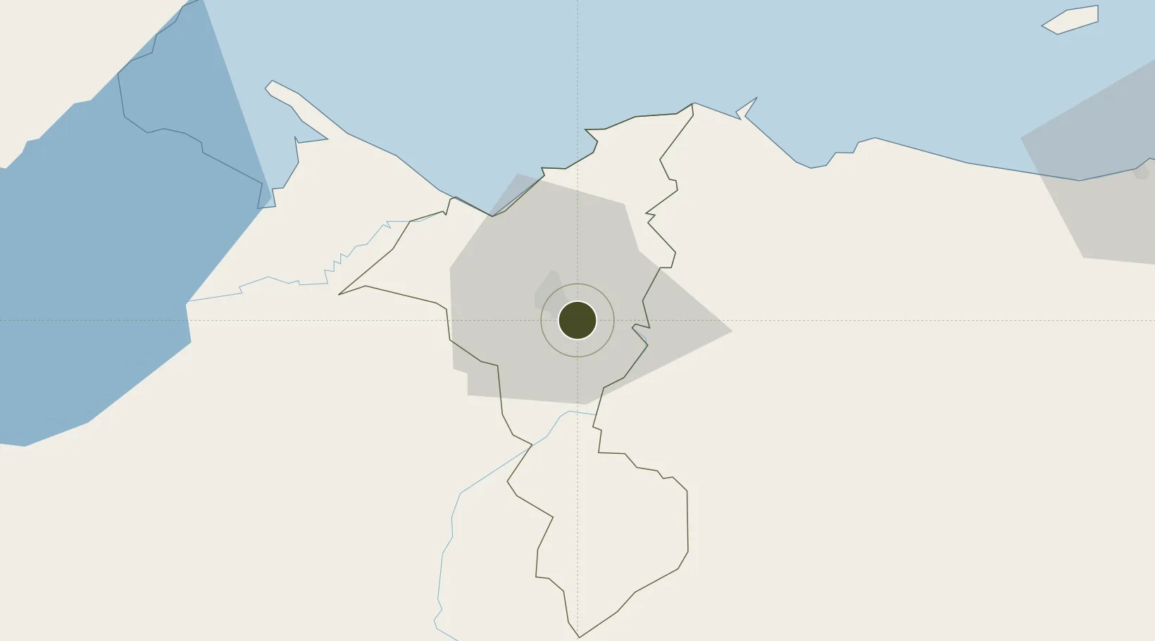
15.4678°, -87.9669°
7 ha
Zone area
40.7 km
Nearest port
4.9 km
Nearest airport
Gateway access
Zone profile
Zone type
Export Processing Zone
Region
Cortés
Status
Active
Management
Public-Private Partnership
Operator
ZIP Calpules, S.A.
Legal framework
Law of Industrial Zones of Processing for Exports - Decree No 131-98
Location
Nearby Logistics Neighbours
Ports
- 1Puerto Cortes41 km
- 2Tela66 km
- 3Puerto Barrios74 km
- 4Santo Tomas De Castilla74 km
- 5Big Creek126 km
Airports
Cities
- 1Chamelecón7 km
- 2Búfalo10 km
- 3San Pedro Sula14 km
- 4Villanueva17 km
- 5El Progreso19 km
Trade Zones
- 1ZIP San José5 km
- 2ZIP Bufalo Free Zone8 km
- 3ZIP Continental8 km
- 4Altia Smart City12 km
- 5ZIP Buena Vista13 km
DatabookThe Record of Consolidated Knowledge
Honduras beyond logistics?