Transport Functions
Rail
Road
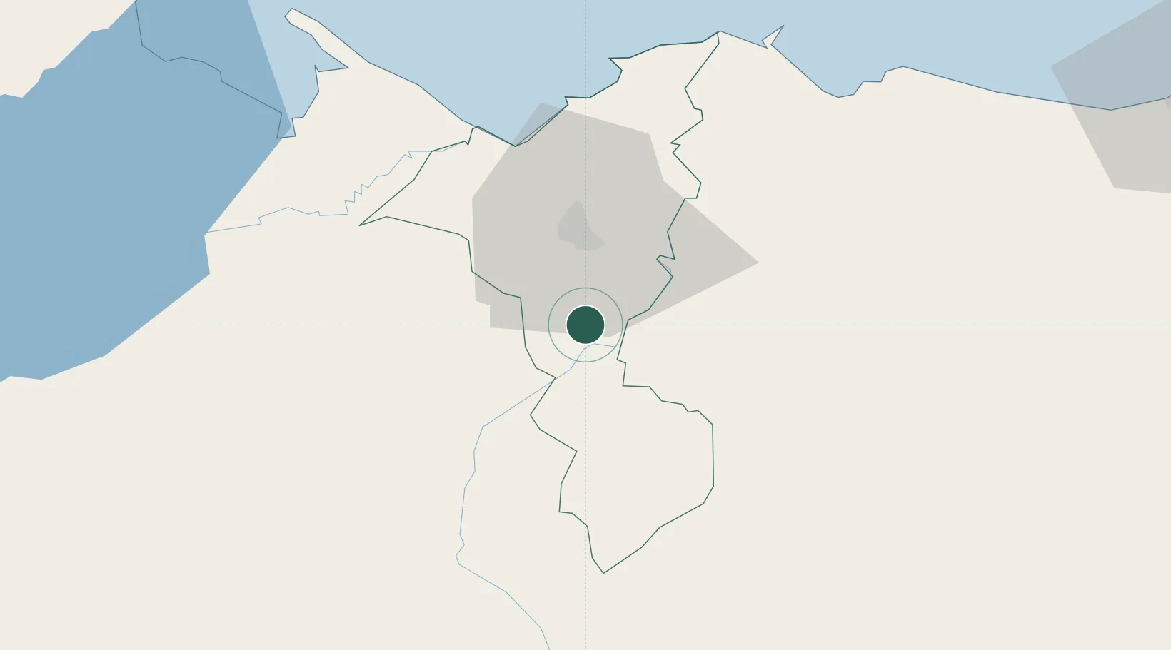
Hub Profile
Place type
Populated place
Region
Cortés Department
Population
31,571
Time zone
America/Tegucigalpa
Elevation
85 m
Location
Nearby Logistics Neighbours
Cities
- 1Búfalo7 km
- 2Chamelecón13 km
- 3El Progreso23 km
- 4San Pedro Sula31 km
- 5Trinidad32 km
Ports
- 1Puerto Cortes58 km
- 2Tela79 km
- 3Santo Tomas De Castilla79 km
- 4Puerto Barrios79 km
- 5La Ceiba139 km
Airports
- 1Ramón Villeda Morales International Airport17 km
- 2Tela Airport76 km
- 3Puerto Barrios Airport78 km
- 4Palmerola International Airport112 km
- 5Punta Gorda Airport123 km
Trade Zones
- 1Villanueva Industrial1 km
- 2ZIP Buena Vista4 km
- 3ZIP Bufalo Free Zone10 km
- 4ZIP Continental17 km
- 5ZIP Calpules17 km
DatabookThe Record of Consolidated Knowledge
Honduras beyond logistics?