Transport Functions
Port
Hub Profile
Region
16
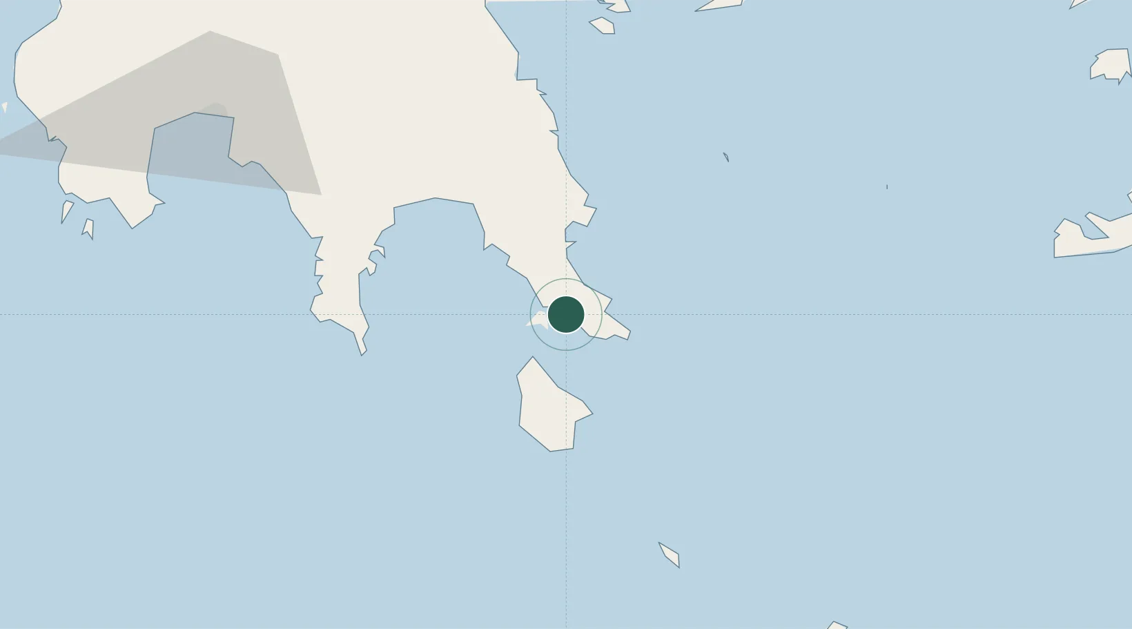
Location
Nearby Logistics Neighbours
Cities
- 1Neapolis3 km
- 2Elafonissos Lakonias5 km
- 3Agía Pelagía19 km
- 4Monemvasía20 km
- 5Diakofti Kythiron26 km
Airports
- 1Kithira Airport25 km
- 2Kalamata Airport110 km
- 3Milos Airport131 km
- 4Chania International Airport147 km
- 5Athens Eleftherios Venizelos International Airport179 km
Trade Zones
- 1Free Zone of Piraeus169 km
- 2Free Zone of Heraklion234 km
- 3Free Zone of Platigiali (Astakos Etoloakarnanias)278 km
- 4Aegean Free Zone415 km
- 5Izmir Free Zone416 km
DatabookThe Record of Consolidated Knowledge
Greece beyond logistics?