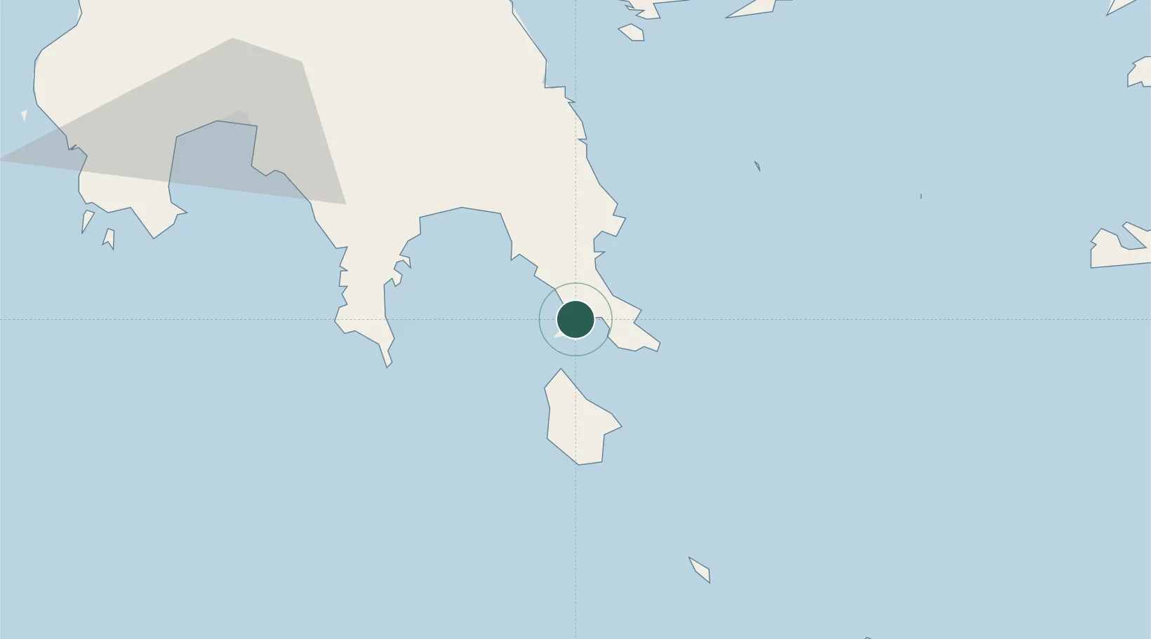
UN/LOCODE hub · Greece
GRELN

Elafonissos Lakonias

36.5167°, 22.9833°
1
Transport functions

Transport Functions

Port
UN/LOCODE

Location

Location of GRELN
Natural Earth 10m (public domain) · Attiki · GRELN · 36.52, 22.98GoogleOSMYandex

Nearby Logistics Neighbours

Cities
  1. 1Vatika Bay5 km
  2. 2Neapolis8 km
  3. 3Monemvasía20 km
  4. 4Agía Pelagía20 km
  5. 5Pitra23 km
Nearest neighbours — logibook spatial index (haversine) over the source coordinates
Ports
  1. 1Yithion45 km
  2. 2Kalamata95 km
  3. 3Navplio118 km
  4. 4Pilos125 km
  5. 5Milos133 km
Nearest neighbours — logibook spatial index (haversine) over the source coordinates
Airports
  1. 1Kithira Airport27 km
  2. 2Kalamata Airport105 km
  3. 3Milos Airport135 km
  4. 4Chania International Airport152 km
  5. 5Elefsis Air Base179 km
Nearest neighbours — logibook spatial index (haversine) over the source coordinates
Trade Zones
  1. 1Free Zone of Piraeus168 km
  2. 2Free Zone of Heraklion239 km
  3. 3Free Zone of Platigiali (Astakos Etoloakarnanias)274 km
  4. 4Aegean Free Zone418 km
  5. 5Izmir Free Zone419 km
Nearest neighbours — logibook spatial index (haversine) over the source coordinates
DatabookThe Record of Consolidated Knowledge
Greece beyond logistics?
Browse databook

All Sources

LocationsUN/LOCODE
UN/LOCODE — free
Portsthe NGA World Port Index
Public domain (US gov)
AirportsOurAirports
Public domain
Trade Zonesthe World Bank SEZ database
CC BY 4.0
Trade ZonesOpen Zone Map
CC BY
← Greece locations