Transport Functions
Port
Hub Profile
Place type
Urban district
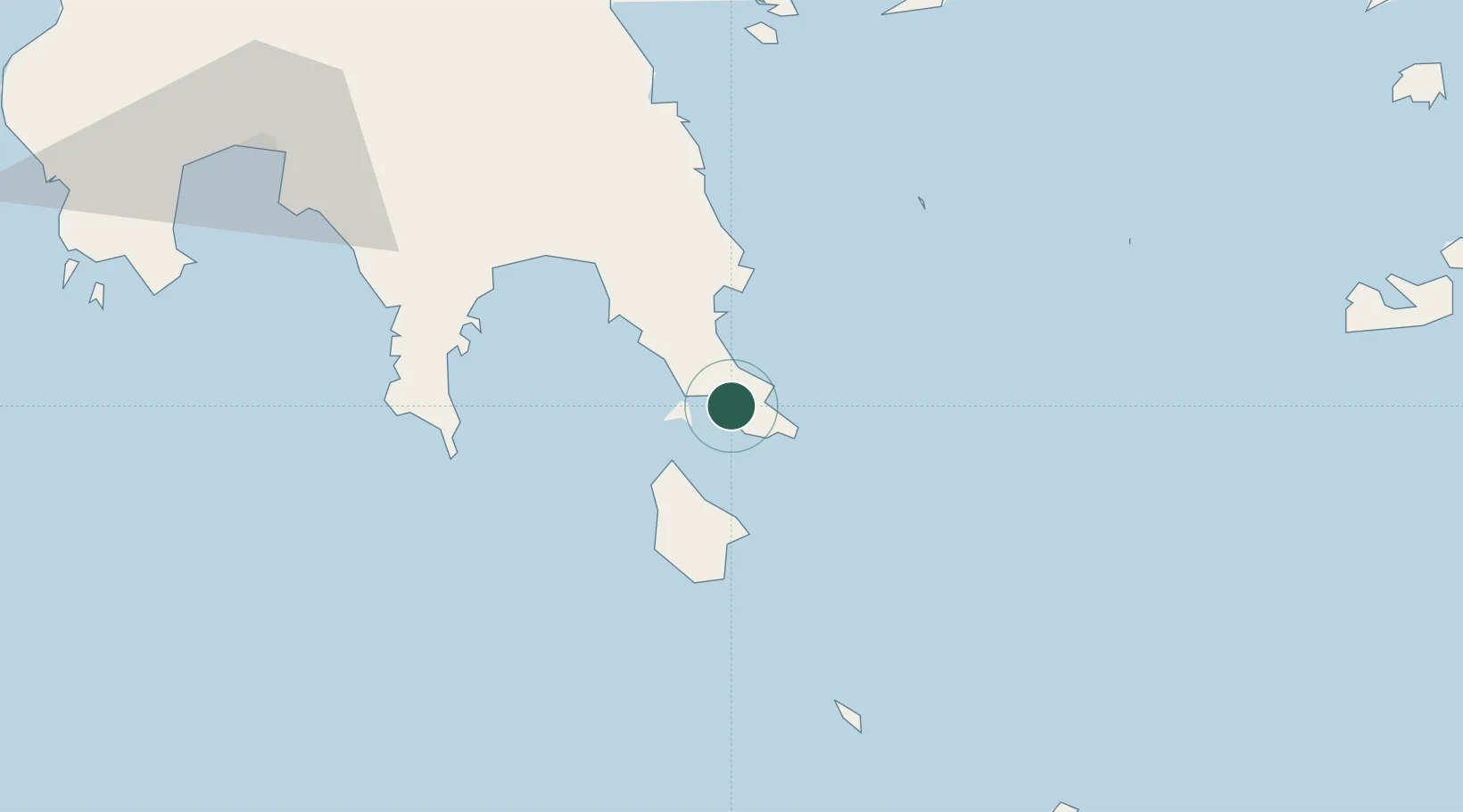
Region
Peloponnese
Time zone
Europe/Athens
Elevation
10 m
Location
Nearby Logistics Neighbours
Cities
- 1Vatika Bay3 km
- 2Elafonissos Lakonias8 km
- 3Agía Pelagía20 km
- 4Monemvasía20 km
- 5Diakofti Kythiron26 km
Airports
- 1Kithira Airport26 km
- 2Kalamata Airport112 km
- 3Milos Airport128 km
- 4Chania International Airport145 km
- 5Athens Eleftherios Venizelos International Airport178 km
Trade Zones
- 1Free Zone of Piraeus168 km
- 2Free Zone of Heraklion232 km
- 3Free Zone of Platigiali (Astakos Etoloakarnanias)280 km
- 4Aegean Free Zone413 km
- 5Izmir Free Zone414 km
DatabookThe Record of Consolidated Knowledge
Greece beyond logistics?