Transport Functions
Port
Hub Profile
Place type
Populated place
Region
Attica
Population
419
Time zone
Europe/Athens
Elevation
21 m
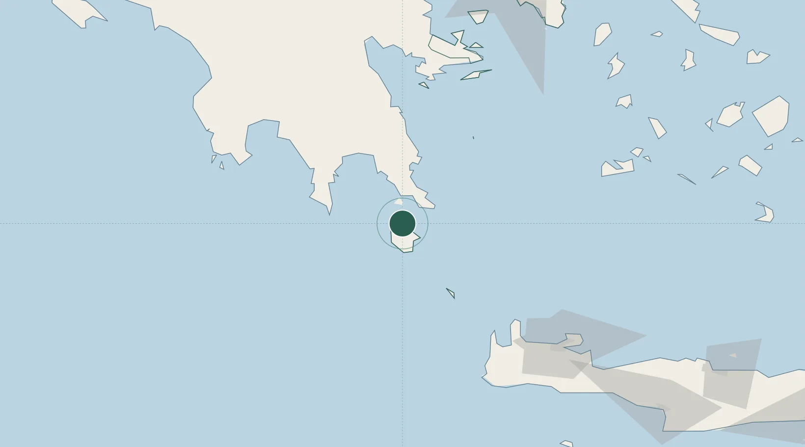
Location
Nearby Logistics Neighbours
Cities
- 1Rízes12 km
- 2Diakofti Kythiron12 km
- 3Vatika Bay19 km
- 4Neapolis20 km
- 5Elafonissos Lakonias20 km
Airports
- 1Kithira Airport7 km
- 2Kalamata Airport118 km
- 3Chania International Airport138 km
- 4Milos Airport140 km
- 5Athens Eleftherios Venizelos International Airport198 km
Trade Zones
DatabookThe Record of Consolidated Knowledge
Greece beyond logistics?