Transport Functions
Port
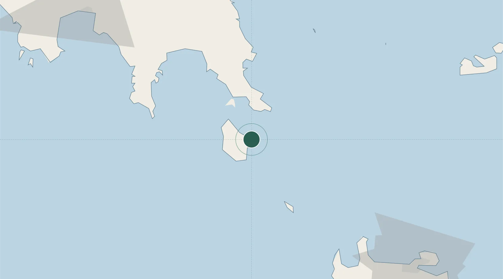
Location
Nearby Logistics Neighbours
Cities
- 1Agía Pelagía12 km
- 2Rízes13 km
- 3Kapsalion (Kythira)15 km
- 4Neapolis26 km
- 5Vatika Bay26 km
Airports
- 1Kithira Airport6 km
- 2Chania International Airport126 km
- 3Kalamata Airport130 km
- 4Milos Airport134 km
- 5Paros National Airport200 km
Trade Zones
DatabookThe Record of Consolidated Knowledge
Greece beyond logistics?