Small airport · Greece
Milos AirportLGML
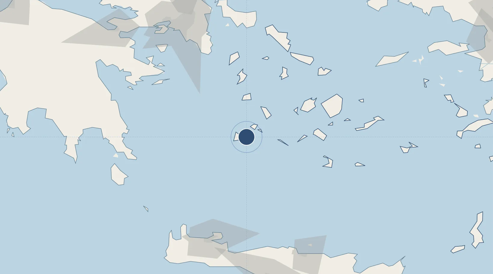
36.6969°, 24.4769°
3,527 ft
Longest runway
1
Runways
10 ft
Elevation
Runway & Layout

Runways · 1
| Runway | Dimensions | Surface | True heading | Lit |
|---|---|---|---|---|
| 08/26 | 3,527 × 82ft | Asphalt | — | — |
Airport Specifications
IATA code
MLO
ICAO code
LGML
Airport class
Small airport
Scheduled service
Yes
Runway surface
Asphalt
Served city
Milos Island
Location
Nearby Logistics Neighbours
Airports
Cities
- 1Zefiri1 km
- 2Adamas Milos5 km
- 3Voudia Milos8 km
- 4Xylokeratia Milos10 km
- 5Kímolos14 km
Ports
- 1Milos3 km
- 2Nisos Naxos91 km
- 3Limin Sirou92 km
- 4Mikonos113 km
- 5Lavrio117 km
Trade Zones
- 1Free Zone of Piraeus159 km
- 2Free Zone of Heraklion175 km
- 3Aegean Free Zone296 km
- 4Izmir Ataturk Organized Industrial Zone301 km
- 5Izmir Free Zone304 km
DatabookThe Record of Consolidated Knowledge
Greece beyond logistics?