Transport Functions
Port
Hub Profile
Place type
Populated place
Region
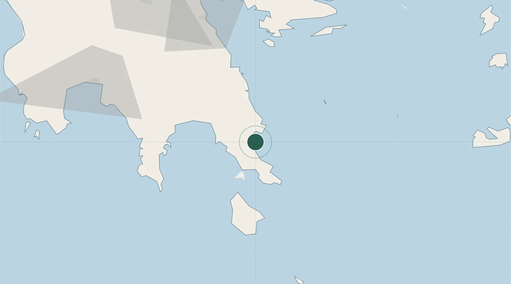
Peloponnese
Population
19
Time zone
Europe/Athens
Elevation
23 m
Location
Nearby Logistics Neighbours
Cities
- 1Pitra19 km
- 2Elafonissos Lakonias20 km
- 3Neapolis20 km
- 4Vatika Bay20 km
- 5Agía Pelagía39 km
Airports
- 1Kithira Airport46 km
- 2Kalamata Airport101 km
- 3Milos Airport127 km
- 4Elefsis Air Base160 km
- 5Athens Eleftherios Venizelos International Airport160 km
Trade Zones
- 1Free Zone of Piraeus149 km
- 2Free Zone of Heraklion246 km
- 3Free Zone of Platigiali (Astakos Etoloakarnanias)263 km
- 4Izmir Free Zone404 km
- 5Aegean Free Zone404 km
DatabookThe Record of Consolidated Knowledge
Greece beyond logistics?