Channel & Berth Profile
Pilotage, Tugs & Services
Pilotage compulsoryYES
Pilotage availableYES
Tug assistanceNO
Salvage tugsNO
Potable waterYES
Diesel bunkersNO
MedicalYES
Garbage disposalNO
Facilities & Capabilities
Container—
Ro-Ro—
Liquid bulk—
Dry bulk—
Oil terminal—
Break bulk—
Dry dock—
Repairs—
BunkeringNO
Rail link—
Dangerous cargo—
ISPS security—
Harbour Specifications
Harbour size
Very Small
Harbour type
Coastal (Natural)
Shelter
Fair
Water body
Mediterranean Sea; North Atlantic Ocean
Tidal range
1 m
Overhead limit
No
Pilotage
Yes
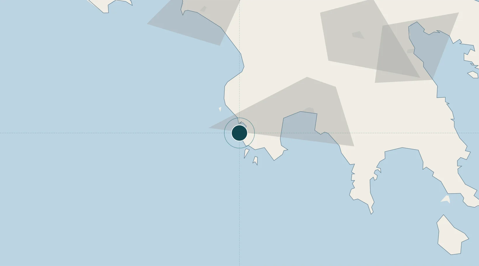
Location
Nearby Logistics Neighbours
Cities
- 1Pýlos2 km
- 2Methoni10 km
- 3Kiparissia39 km
- 4Kalamáta43 km
- 5Xirokámbion70 km
Airports
- 1Kalamata Airport37 km
- 2Zakynthos International Airport Dionysios Solomos117 km
- 3Andravida Air Base118 km
- 4Kithira Airport139 km
- 5Patras Araxos Agamemnon Airport141 km
Trade Zones
- 1Free Zone of Platigiali (Astakos Etoloakarnanias)182 km
- 2Free Zone of Piraeus208 km
- 3Free Zone of Heraklion361 km
- 4Gjirokastër Freezone376 km
- 5Përmet Freezone389 km
DatabookThe Record of Consolidated Knowledge
Greece beyond logistics?