UN/LOCODE hub · Greece
GRPEP
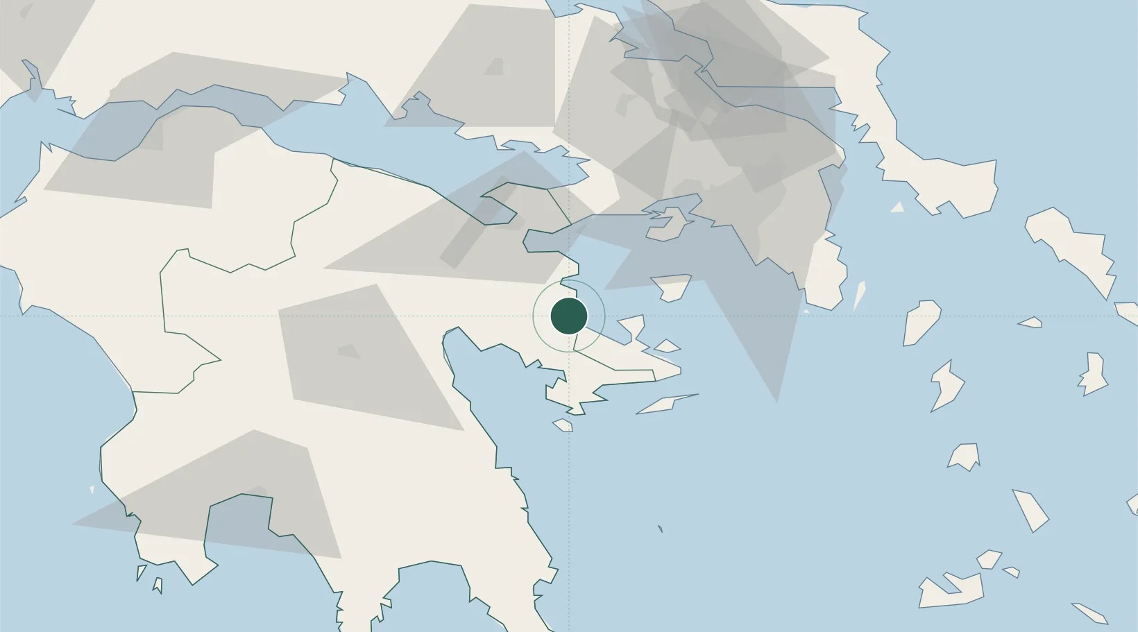
Palaiá Epídavros
37.6333°, 23.1500°
1,618
Population
1
Transport functions
Transport Functions
Port
Hub Profile
Place type
Populated place
Region
Peloponnese
Population
1,618
Time zone
Europe/Athens
Elevation
10 m
Location
Nearby Logistics Neighbours
Cities
- 1Epidavros0 km
- 2Agistri Aiginas20 km
- 3Koilas Ermionidos24 km
- 4Aegina26 km
- 5Ermióni29 km
Ports
- 1Navplio32 km
- 2Megara Oil Terminal43 km
- 3Piraievs55 km
- 4Lavrio81 km
- 5Itea110 km
Airports
- 1Elefsis Air Base60 km
- 2Athens Eleftherios Venizelos International Airport78 km
- 3Tanagra Air Base87 km
- 4Kalamata Airport118 km
- 5Kithira Airport152 km
Trade Zones
- 1Free Zone of Piraeus54 km
- 2Free Zone of Platigiali (Astakos Etoloakarnanias)203 km
- 3Free Zone of Heraklion321 km
- 4Free Zone of Thessaloniki334 km
- 5Izmir Free Zone348 km
DatabookThe Record of Consolidated Knowledge
Greece beyond logistics?