UN/LOCODE hub · Greece
GRPER

Perama

37.9773°, 23.5931°
25,389
Population
1
Transport functions

Transport Functions

Port
UN/LOCODE

Hub Profile

Place type
District seat
GeoNames
Region
Attica
GeoNames
Population
25,389
GeoNames
Time zone
Europe/Athens
GeoNames
Elevation
71 m
GeoNames
Logistics facilities
2
UN/LOCODE

Location

Location of GRPER
Natural Earth 10m (public domain) · Attica · GRPER · 37.98, 23.59GoogleOSMYandex

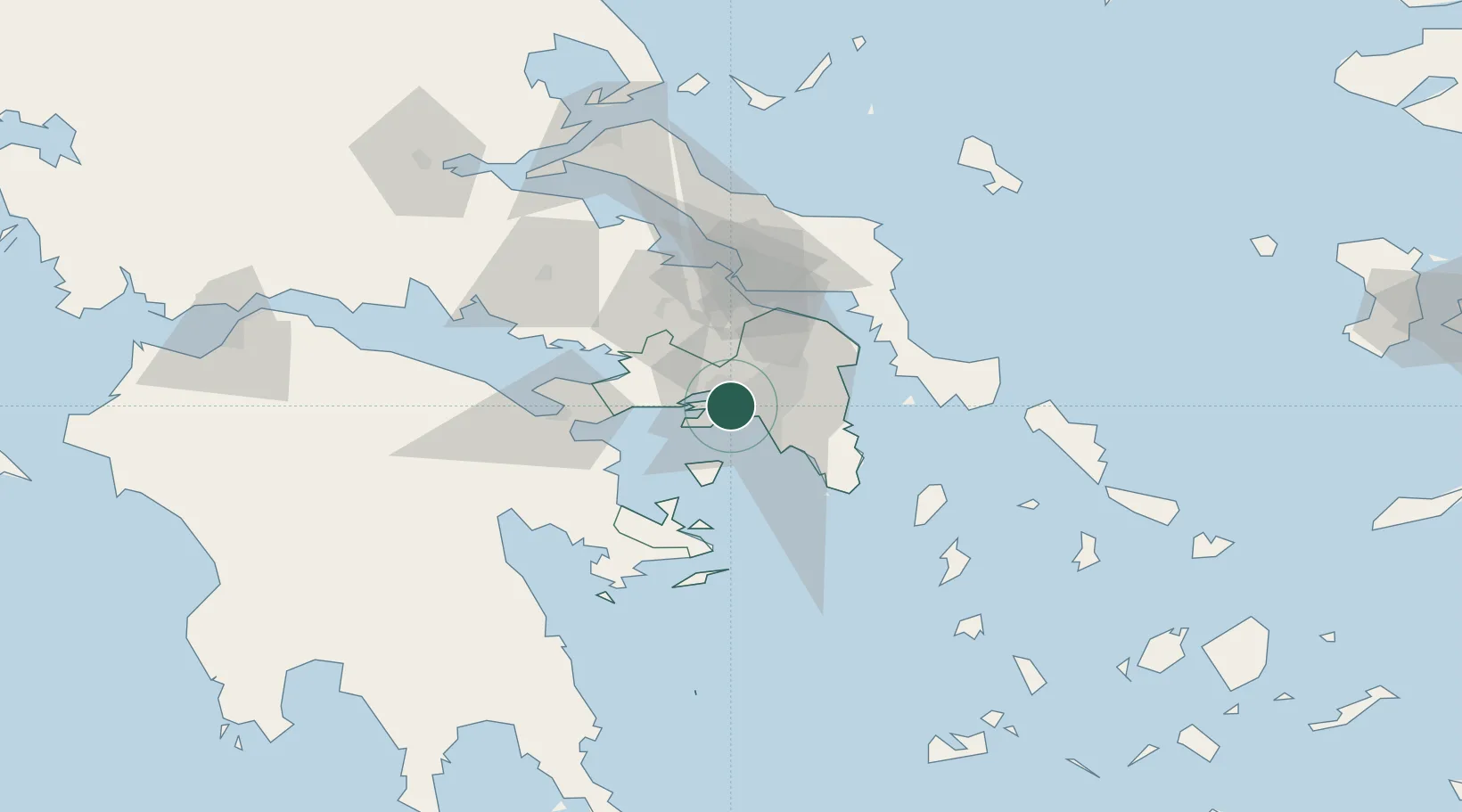
Nearby Logistics Neighbours

Cities
  1. 1Keratsínion2 km
  2. 2Skaramangás3 km
  3. 3Piraeus4 km
  4. 4Drapetzona4 km
  5. 5Paloúkia5 km
Nearest neighbours — logibook spatial index (haversine) over the source coordinates
Ports
  1. 1Piraievs7 km
  2. 2Megara Oil Terminal17 km
  3. 3Lavrio52 km
  4. 4Ormos Aliveriou60 km
  5. 5Navplio83 km
Nearest neighbours — logibook spatial index (haversine) over the source coordinates
Airports
  1. 1Elefsis Air Base10 km
  2. 2Athens Eleftherios Venizelos International Airport31 km
  3. 3Tanagra Air Base40 km
  4. 4Skiathos Island National Airport134 km
  5. 5Syros Airport134 km
Nearest neighbours — logibook spatial index (haversine) over the source coordinates
Trade Zones
  1. 1Free Zone of Piraeus4 km
  2. 2Free Zone of Platigiali (Astakos Etoloakarnanias)225 km
  3. 3Izmir Free Zone300 km
  4. 4Free Zone of Thessaloniki301 km
  5. 5Izmir Ataturk Organized Industrial Zone306 km
Nearest neighbours — logibook spatial index (haversine) over the source coordinates
DatabookThe Record of Consolidated Knowledge
Greece beyond logistics?
Browse databook

All Sources

LocationsUN/LOCODE
UN/LOCODE — free
LocationsGeoNames
CC BY 4.0
Portsthe NGA World Port Index
Public domain (US gov)
AirportsOurAirports
Public domain
Trade Zonesthe World Bank SEZ database
CC BY 4.0
Trade ZonesOpen Zone Map
CC BY
← Greece locations