Transport Functions
Port
Hub Profile
Logistics facilities
1
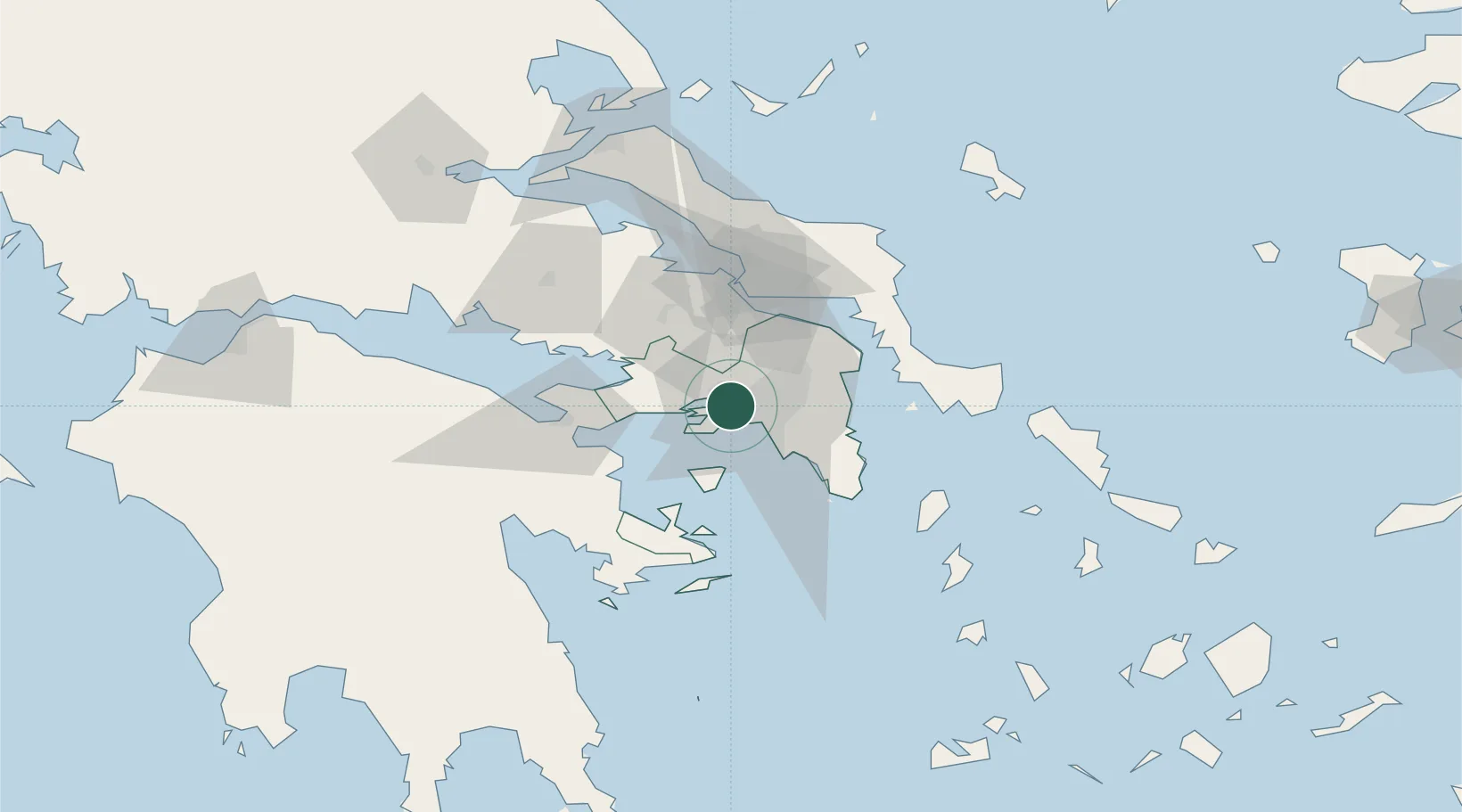
Location
Nearby Logistics Neighbours
Cities
- 1Piraeus2 km
- 2Perama3 km
- 3Keratsínion4 km
- 4Eleusina6 km
- 5Eleusis6 km
Ports
- 1Piraievs9 km
- 2Megara Oil Terminal17 km
- 3Lavrio54 km
- 4Ormos Aliveriou59 km
- 5Navplio84 km
Airports
Trade Zones
- 1Free Zone of Piraeus7 km
- 2Free Zone of Platigiali (Astakos Etoloakarnanias)223 km
- 3Free Zone of Thessaloniki299 km
- 4TIDZ Gevgelija368 km
- 5Përmet Freezone374 km
DatabookThe Record of Consolidated Knowledge
Greece beyond logistics?