Transport Functions
Port
Road
Hub Profile
Place type
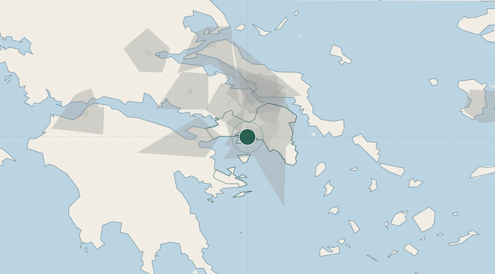
Populated place
Region
Attica
Time zone
Europe/Athens
Elevation
7 m
Location
Nearby Logistics Neighbours
Cities
- 1Salamís4 km
- 2Perama5 km
- 3Skaramangás6 km
- 4Keratsínion7 km
- 5Eleusina7 km
Ports
- 1Piraievs11 km
- 2Megara Oil Terminal12 km
- 3Lavrio55 km
- 4Ormos Aliveriou65 km
- 5Navplio78 km
Airports
- 1Elefsis Air Base11 km
- 2Athens Eleftherios Venizelos International Airport36 km
- 3Tanagra Air Base42 km
- 4Skiathos Island National Airport135 km
- 5Syros Airport139 km
Trade Zones
DatabookThe Record of Consolidated Knowledge
Greece beyond logistics?