Small airport · Greece
Syros AirportLGSO
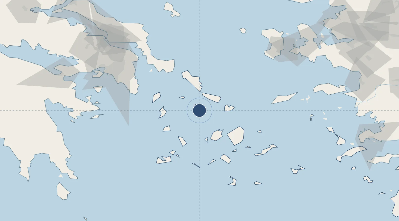
37.4228°, 24.9509°
3,542 ft
Longest runway
1
Runways
236 ft
Elevation
Runway & Layout

Radio Frequencies
A/G
563.7 MHz
RDO
AFIS
118.85 MHz
Navaids
SYR NDB Syros 417 kHz
Runways · 1
| Runway | Dimensions | Surface | True heading | Lit |
|---|---|---|---|---|
| 18/36 | 3,542 × 98ft | Asphalt | 181° | ✓ |
Airport Specifications
IATA code
JSY
ICAO code
LGSO
Airport class
Small airport
Scheduled service
Yes
Runway surface
Asphalt
Served city
Syros Island
Location
Nearby Logistics Neighbours
Airports
Cities
- 1Tínos23 km
- 2Órmos Panórmou27 km
- 3Delos28 km
- 4Mykonos34 km
- 5Páros42 km
Ports
- 1Limin Sirou1 km
- 2Mikonos34 km
- 3Andros46 km
- 4Nisos Naxos51 km
- 5Gavrio55 km
Trade Zones
DatabookThe Record of Consolidated Knowledge
Greece beyond logistics?