Seaport · Greece

LavrioGRLAV

37.7000°, 24.0667°
4.9 m
Channel depth
16.2
Port liner connectivity
Lavrio is also a UN/LOCODE logistics hub →

Channel & Berth Profile

SEA LEVEL (CD)CHANNEL BEDChannel · 4.9 mCargo pier · 4.9 mOil terminal · 4.9 mAnchorage · 12.5 m
NGA World Port Index

Pilotage, Tugs & Services

Pilotage compulsoryYES
Pilotage availableYES
Tug assistanceYES
Potable waterYES
Diesel bunkersYES
MedicalYES
Garbage disposalYES
NGA World Port Index

Facilities & Capabilities

Container
Ro-Ro
Liquid bulk
Dry bulk
Oil terminal
Break bulk
Dry dock
RepairsNO
BunkeringYES
Rail linkYES
Dangerous cargo
ISPS security
NGA World Port Index

Harbour Specifications

Harbour size
Very Small
NGA World Port Index
Harbour type
Coastal (Breakwater)
NGA World Port Index
Shelter
Fair
NGA World Port Index
Water body
Aegean Sea; Mediterranean Sea; North Atlantic Ocean
NGA World Port Index
Pilotage
Yes
NGA World Port Index

Liner Connectivity

16.2
PLSCI

Port Liner Shipping Connectivity Index for Lavrio, as published by UNCTAD for the latest available quarter. Higher values indicate stronger scheduled liner-shipping integration.

Shown relative to the highest per-port PLSCI in the dataset (1,657.9).
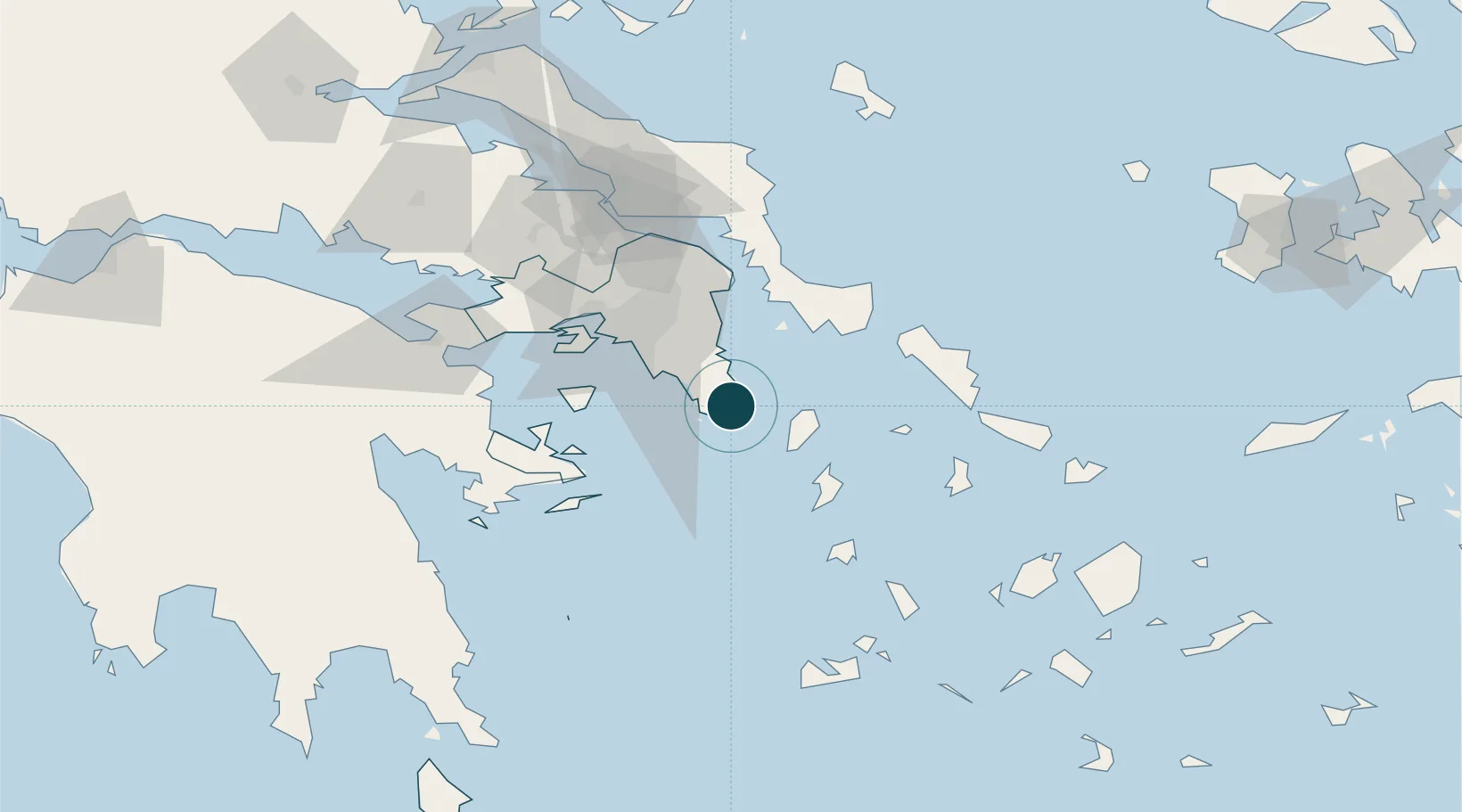
UNCTAD · Port Liner Shipping Connectivity Index

Location

Location of GRLAV
Natural Earth 10m (public domain) · Attiki · GRLAV · 37.70, 24.07GoogleOSMYandex

Nearby Logistics Neighbours

Ports
  1. 1Piraievs45 km
  2. 2Gavrio62 km
  3. 3Megara Oil Terminal66 km
  4. 4Ormos Aliveriou76 km
  5. 5Andros79 km
Nearest neighbours — logibook spatial index (haversine) over the source coordinates
Cities
  1. 1Palaiá Fókaia10 km
  2. 2Kéa (Tzia)23 km
  3. 3Markopoulo24 km
  4. 4Vouliagméni28 km
  5. 5Artemis30 km
Nearest neighbours — logibook spatial index (haversine) over the source coordinates
Airports
  1. 1Athens Eleftherios Venizelos International Airport28 km
  2. 2Elefsis Air Base60 km
  3. 3Tanagra Air Base84 km
  4. 4Syros Airport84 km
  5. 5Mykonos Island National Airport117 km
Nearest neighbours — logibook spatial index (haversine) over the source coordinates
Trade Zones
  1. 1Free Zone of Piraeus48 km
  2. 2Izmir Free Zone270 km
  3. 3Free Zone of Platigiali (Astakos Etoloakarnanias)274 km
  4. 4Izmir Ataturk Organized Industrial Zone274 km
  5. 5Aegean Free Zone277 km
Nearest neighbours — logibook spatial index (haversine) over the source coordinates
DatabookThe Record of Consolidated Knowledge
Greece beyond logistics?
Browse databook

All Sources

Portsthe NGA World Port Index
Public domain (US gov)
Logistics performanceUNCTAD
CC BY 3.0 IGO
AirportsOurAirports
Public domain
LocationsUN/LOCODE
UN/LOCODE — free
Trade Zonesthe World Bank SEZ database
CC BY 4.0
Trade ZonesOpen Zone Map
CC BY
← Greece ports