Channel & Berth Profile
Pilotage, Tugs & Services
Pilotage compulsoryYES
Tug assistanceYES
Salvage tugsNO
Potable waterYES
Garbage disposalYES
Facilities & Capabilities
Container—
Ro-Ro—
Liquid bulk—
Dry bulk—
Oil terminal—
Break bulk—
Dry dock—
Repairs—
BunkeringYES
Rail link—
Dangerous cargo—
ISPS security—
Harbour Specifications
Harbour size
Medium
Harbour type
Coastal (Breakwater)
Shelter
Poor
Water body
Aegean Sea; Mediterranean Sea; North Atlantic Ocean
Tidal range
1 m
Overhead limit
Yes
Pilotage
Yes
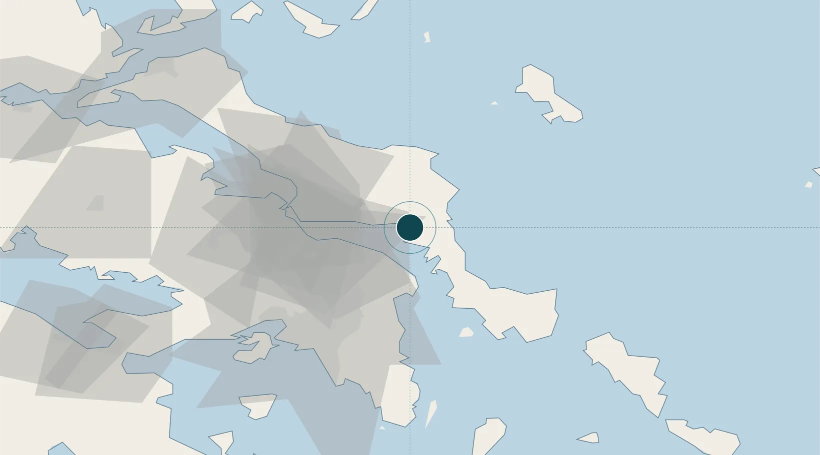
Location
Nearby Logistics Neighbours
Ports
- 1Piraievs61 km
- 2Kymassi71 km
- 3Megara Oil Terminal73 km
- 4Lavrio76 km
- 5Gavrio82 km
Cities
- 1Mylaki2 km
- 2Petries Evvoias12 km
- 3Erétria22 km
- 4Agia Marina Grammatikou Attikis22 km
- 5Kapandrition24 km
Airports
Trade Zones
DatabookThe Record of Consolidated Knowledge
Greece beyond logistics?