UN/LOCODE hub · Greece
GRPIR

Piraeus

38.0071°, 23.6037°
163,688
Population
1
Transport functions
2
Container terminals

Transport Functions

Port
Piraeus is also a profiled seaport →
UN/LOCODE

Hub Profile

Place type
District seat
GeoNames
Region
Attica
GeoNames
Population
163,688
GeoNames
Time zone
Europe/Athens
GeoNames
Elevation
29 m
GeoNames
Logistics facilities
14
UN/LOCODE
Container terminals
2
UN/LOCODE

Location

Location of GRPIR
Natural Earth 10m (public domain) · Attica · GRPIR · 38.01, 23.60GoogleOSMYandex

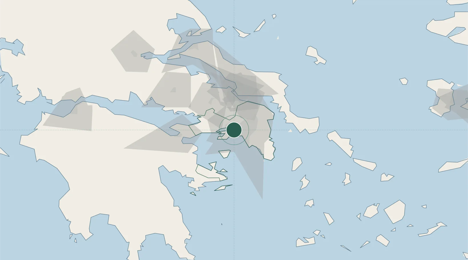
Nearby Logistics Neighbours

Cities
  1. 1Skaramangás2 km
  2. 2Perama4 km
  3. 3Asprópirgos5 km
  4. 4Keratsínion5 km
  5. 5Aegaleo6 km
Nearest neighbours — logibook spatial index (haversine) over the source coordinates
Ports
  1. 1Megara Oil Terminal18 km
  2. 2Lavrio53 km
  3. 3Ormos Aliveriou57 km
  4. 4Navplio86 km
  5. 5Kymassi93 km
Nearest neighbours — logibook spatial index (haversine) over the source coordinates
Airports
  1. 1Elefsis Air Base8 km
  2. 2Athens Eleftherios Venizelos International Airport31 km
  3. 3Tanagra Air Base37 km
  4. 4Skiathos Island National Airport130 km
  5. 5Skiros Airport132 km
Nearest neighbours — logibook spatial index (haversine) over the source coordinates
Trade Zones
  1. 1Free Zone of Piraeus7 km
  2. 2Free Zone of Platigiali (Astakos Etoloakarnanias)225 km
  3. 3Free Zone of Thessaloniki298 km
  4. 4TIDZ Gevgelija367 km
  5. 5Përmet Freezone374 km
Nearest neighbours — logibook spatial index (haversine) over the source coordinates
DatabookThe Record of Consolidated Knowledge
Greece beyond logistics?
Browse databook

All Sources

LocationsUN/LOCODE
UN/LOCODE — free
LocationsGeoNames
CC BY 4.0
Portsthe NGA World Port Index
Public domain (US gov)
AirportsOurAirports
Public domain
Trade Zonesthe World Bank SEZ database
CC BY 4.0
Trade ZonesOpen Zone Map
CC BY
← Greece locations