Medium airport · Greece
Skiathos Island National AirportLGSK
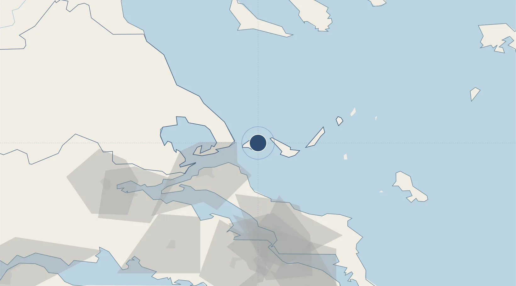
39.1771°, 23.5037°
5,341 ft
Longest runway
1
Runways
54 ft
Elevation
Runway & Layout

Radio Frequencies
TWR
126.05 MHz
SKIATHOS TWR
APP
126.05 MHz
SKIATHOS APP
A/G
563.7 MHz
SKIATHOS RDO
Navaids
SKC NDB Skiathos 326 kHz
Runways · 1
| Runway | Dimensions | Surface | True heading | Lit |
|---|---|---|---|---|
| 01/19 | 5,341 × 98ft | Asphalt | 019° | ✓ |
Airport Specifications
IATA code
JSI
ICAO code
LGSK
Airport class
Medium airport
Scheduled service
Yes
Runway surface
Asphalt
Served city
Skiathos
Location
Nearby Logistics Neighbours
Airports
- 1Nea Anchialos National Airport61 km
- 2Skiros Airport88 km
- 3Tanagra Air Base93 km
- 4Elefsis Air Base124 km
- 5Athens Eleftherios Venizelos International Airport143 km
Cities
- 1Skíathos2 km
- 2Glossa10 km
- 3Klima14 km
- 4Agnontas Skopelos20 km
- 5Platania21 km
Ports
- 1Kymassi38 km
- 2Volos52 km
- 3Tsingeli56 km
- 4Achladi67 km
- 5Ormos Aliveriou100 km
Trade Zones
- 1Free Zone of Piraeus137 km
- 2Free Zone of Thessaloniki170 km
- 3Free Zone of Platigiali (Astakos Etoloakarnanias)222 km
- 4TIDZ Gevgelija240 km
- 5TIDZ Strumica255 km
DatabookThe Record of Consolidated Knowledge
Greece beyond logistics?