Transport Functions
Port
Hub Profile
Place type
District seat
Region
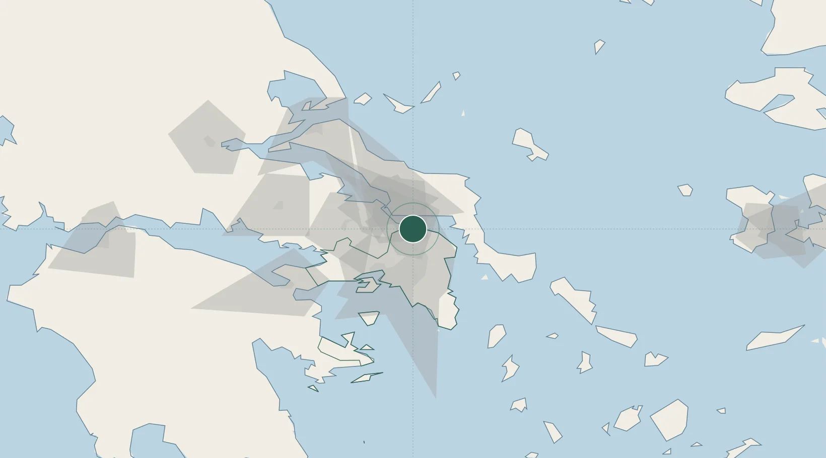
Attica
Population
1,111
Time zone
Europe/Athens
Elevation
32 m
Location
Nearby Logistics Neighbours
Cities
- 1Erétria9 km
- 2Malakása9 km
- 3Lefkandi14 km
- 4Kapandrition14 km
- 5Oinófita14 km
Ports
- 1Ormos Aliveriou24 km
- 2Piraievs44 km
- 3Megara Oil Terminal51 km
- 4Kymassi64 km
- 5Lavrio73 km
Airports
Trade Zones
- 1Free Zone of Piraeus44 km
- 2Free Zone of Platigiali (Astakos Etoloakarnanias)234 km
- 3Free Zone of Thessaloniki268 km
- 4TIDZ Gevgelija339 km
- 5TIDZ Strumica354 km
DatabookThe Record of Consolidated Knowledge
Greece beyond logistics?