Small airport · Greece
Skiros AirportLGSY
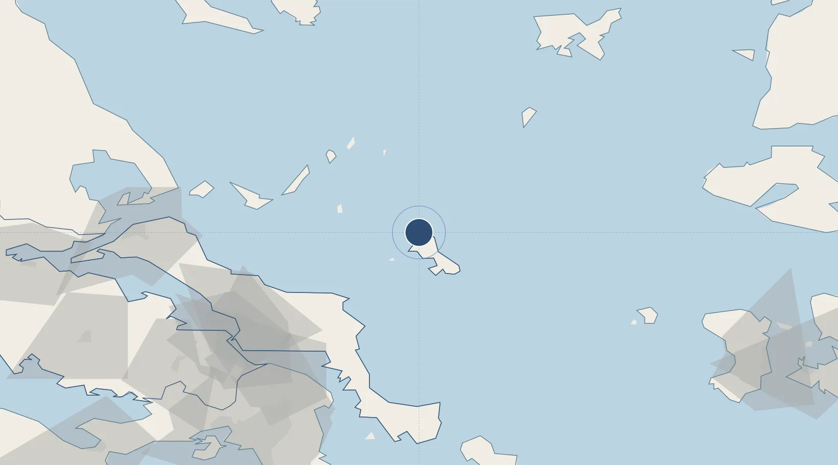
38.9676°, 24.4872°
9,849 ft
Longest runway
1
Runways
44 ft
Elevation
Runway & Layout

Radio Frequencies
TWR
123.2 MHz
APP
123.2 MHz
A/G
563.7 MHz
RDO
Navaids
SKS VOR-DME Skiros 116.60 MHz
SKY TACAN Skyros 116.10 MHz
Runways · 1
| Runway | Dimensions | Surface | True heading | Lit |
|---|---|---|---|---|
| 17/35 | 9,849 × 98ft | Asphalt | 176° | ✓ |
Airport Specifications
IATA code
SKU
ICAO code
LGSY
Airport class
Small airport
Scheduled service
Yes
Runway surface
Asphalt
Served city
Skiros Island
Location
Nearby Logistics Neighbours
Airports
- 1Skiathos Island National Airport88 km
- 2Tanagra Air Base106 km
- 3Limnos Airport124 km
- 4Athens Eleftherios Venizelos International Airport124 km
- 5Elefsis Air Base129 km
Cities
- 1Skíros10 km
- 2Linaria14 km
- 3Kimi (Kými)50 km
- 4Alónnisos57 km
- 5Petries Evvoias68 km
Ports
- 1Ormos Aliveriou75 km
- 2Kymassi90 km
- 3Gavrio123 km
- 4Andros132 km
- 5Piraievs136 km
Trade Zones
DatabookThe Record of Consolidated Knowledge
Greece beyond logistics?