Transport Functions
Port
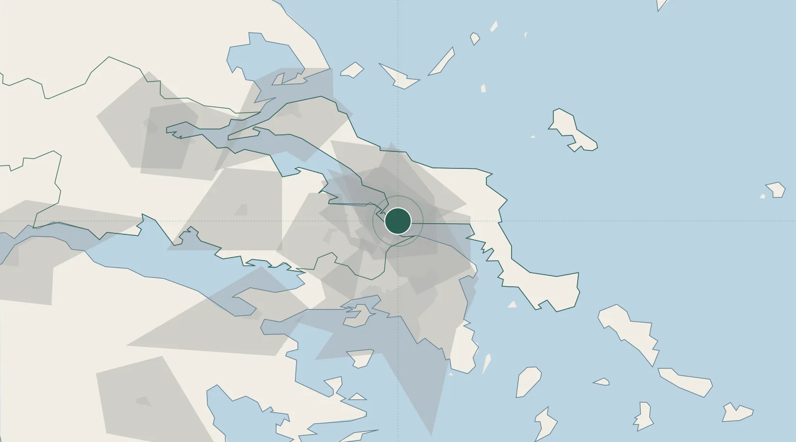
Location
Nearby Logistics Neighbours
Cities
- 1Avlida8 km
- 2Vathi8 km
- 3Chalkida10 km
- 4Erétria10 km
- 5Schimatarion11 km
Ports
- 1Ormos Aliveriou32 km
- 2Kymassi50 km
- 3Piraievs54 km
- 4Megara Oil Terminal56 km
- 5Lavrio87 km
Airports
Trade Zones
- 1Free Zone of Piraeus53 km
- 2Free Zone of Platigiali (Astakos Etoloakarnanias)225 km
- 3Free Zone of Thessaloniki255 km
- 4TIDZ Gevgelija325 km
- 5TIDZ Strumica341 km
DatabookThe Record of Consolidated Knowledge
Greece beyond logistics?