Transport Functions
Rail
Road
Hub Profile
Place type
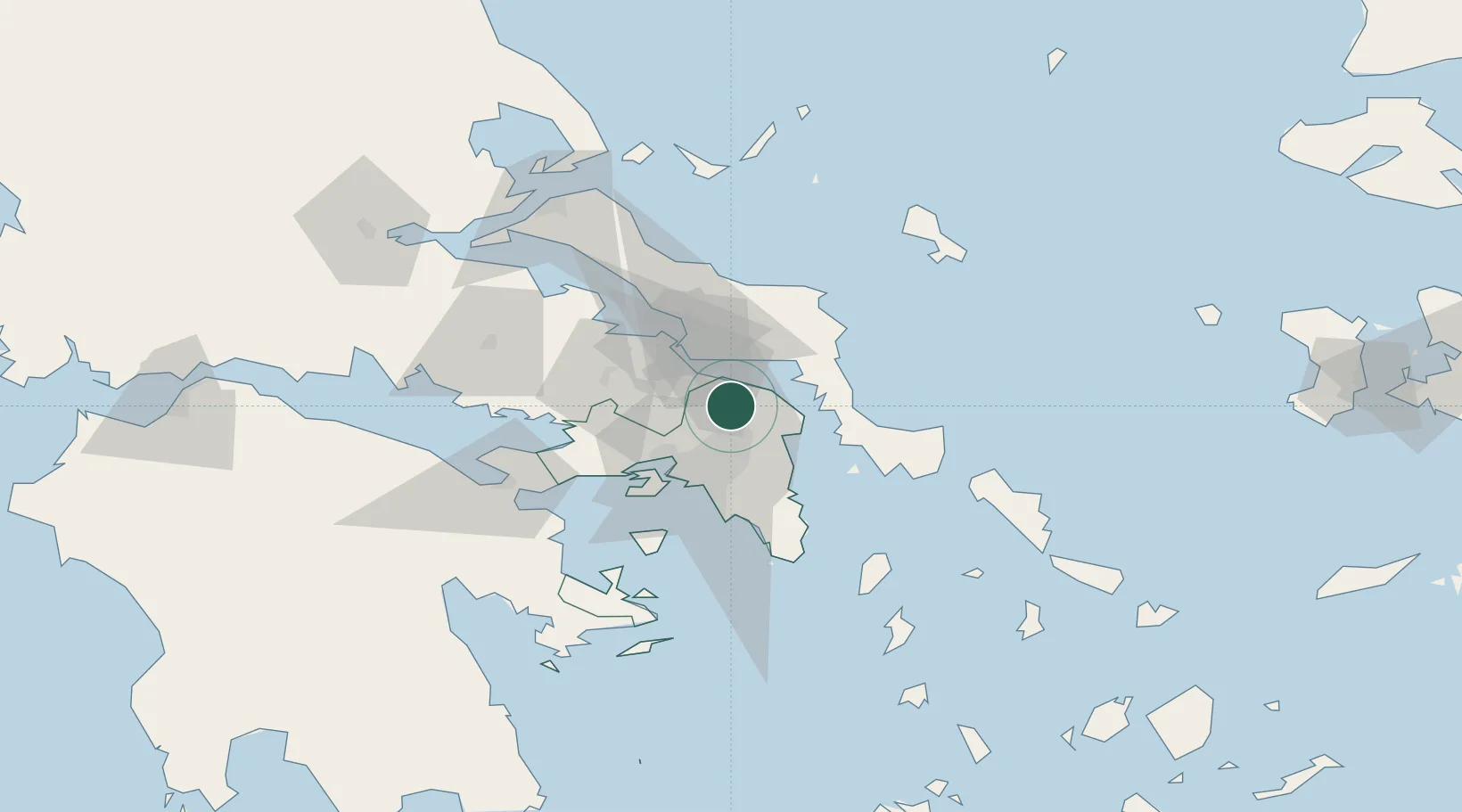
Populated place
Region
Attica
Population
514
Time zone
Europe/Athens
Elevation
233 m
Location
Nearby Logistics Neighbours
Cities
- 1Kapandrition8 km
- 2Oropos9 km
- 3Thrakomakedones14 km
- 4Acharnes18 km
- 5Akharnaí18 km
Ports
- 1Ormos Aliveriou28 km
- 2Piraievs36 km
- 3Megara Oil Terminal46 km
- 4Lavrio64 km
- 5Kymassi73 km
Airports
- 1Tanagra Air Base24 km
- 2Elefsis Air Base29 km
- 3Athens Eleftherios Venizelos International Airport35 km
- 4Skiros Airport101 km
- 5Skiathos Island National Airport108 km
Trade Zones
- 1Free Zone of Piraeus36 km
- 2Free Zone of Platigiali (Astakos Etoloakarnanias)237 km
- 3Free Zone of Thessaloniki278 km
- 4TIDZ Gevgelija348 km
- 5TIDZ Strumica363 km
DatabookThe Record of Consolidated Knowledge
Greece beyond logistics?