Transport Functions
Multimodal
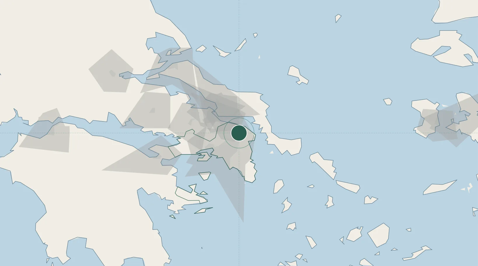
Hub Profile
Region
A1
Location
Nearby Logistics Neighbours
Cities
- 1Malakása8 km
- 2Oropos14 km
- 3Thrakomakedones16 km
- 4Agia Marina Grammatikou Attikis16 km
- 5Acharnes20 km
Ports
- 1Ormos Aliveriou24 km
- 2Piraievs38 km
- 3Megara Oil Terminal51 km
- 4Lavrio60 km
- 5Kymassi78 km
Airports
Trade Zones
- 1Free Zone of Piraeus38 km
- 2Free Zone of Platigiali (Astakos Etoloakarnanias)244 km
- 3Free Zone of Thessaloniki281 km
- 4TIDZ Gevgelija352 km
- 5TIDZ Strumica367 km
DatabookThe Record of Consolidated Knowledge
Greece beyond logistics?