Transport Functions
Port
Road
Hub Profile
Place type
District seat
Region
Central Greece
Population
4,166
Time zone
Europe/Athens
Elevation
15 m
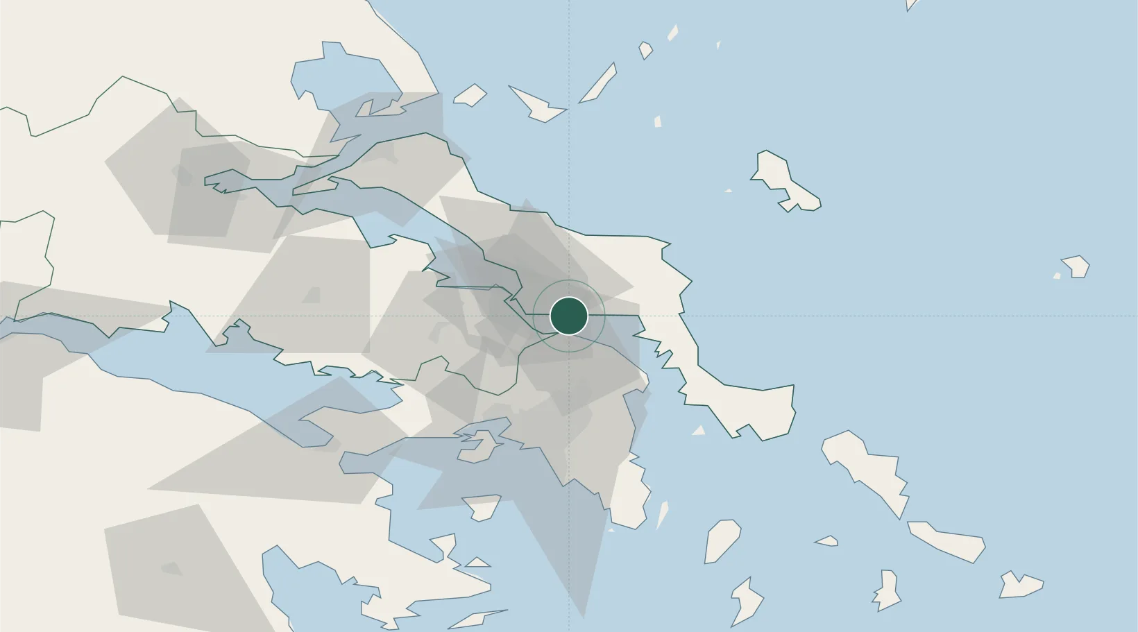
Location
Nearby Logistics Neighbours
Ports
- 1Ormos Aliveriou22 km
- 2Piraievs54 km
- 3Kymassi56 km
- 4Megara Oil Terminal60 km
- 5Lavrio81 km
Airports
Trade Zones
- 1Free Zone of Piraeus53 km
- 2Free Zone of Platigiali (Astakos Etoloakarnanias)235 km
- 3Free Zone of Thessaloniki260 km
- 4TIDZ Gevgelija330 km
- 5TIDZ Strumica345 km
DatabookThe Record of Consolidated Knowledge
Greece beyond logistics?