Transport Functions
Port
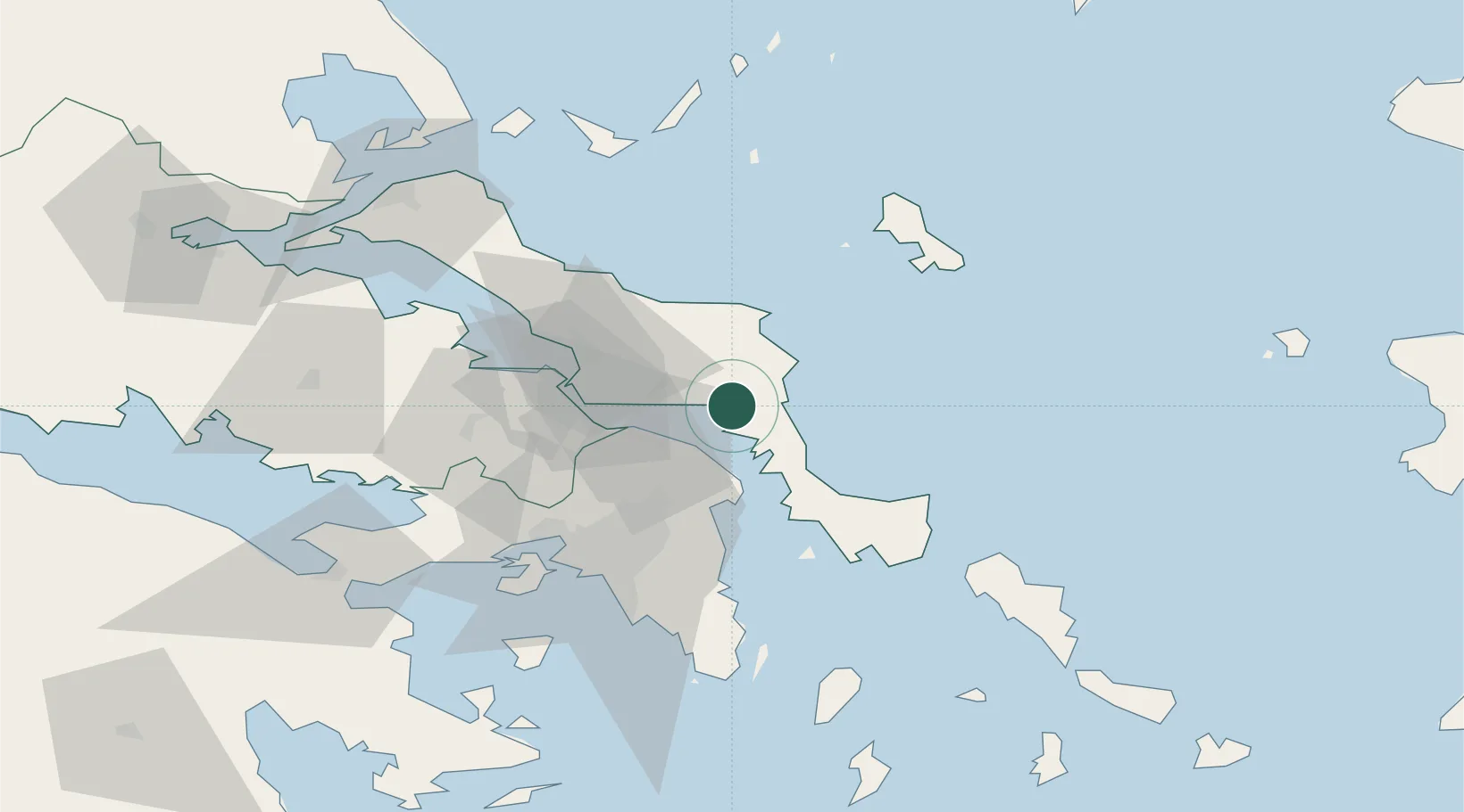
Location
Nearby Logistics Neighbours
Cities
- 1Mylaki2 km
- 2Petries Evvoias12 km
- 3Erétria22 km
- 4Agia Marina Grammatikou Attikis24 km
- 5Oropos25 km
Ports
- 1Piraievs63 km
- 2Kymassi70 km
- 3Megara Oil Terminal75 km
- 4Lavrio78 km
- 5Gavrio83 km
Airports
Trade Zones
DatabookThe Record of Consolidated Knowledge
Greece beyond logistics?