UN/LOCODE hub · Greece
GRGMA

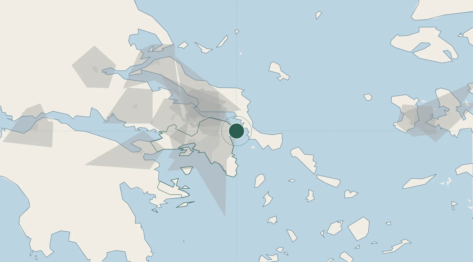
Agia Marina Grammatikou Attikis

38.1833°, 24.0667°
1
Transport functions

Transport Functions

Port
UN/LOCODE

Location

Location of GRGMA
Natural Earth 10m (public domain) · Attiki · GRGMA · 38.18, 24.07GoogleOSMYandex

Nearby Logistics Neighbours

Cities
  1. 1Néa Stíra12 km
  2. 2Kapandrition16 km
  3. 3Mylaki22 km
  4. 4Pikérmion23 km
  5. 5Malakása24 km
Nearest neighbours — logibook spatial index (haversine) over the source coordinates
Ports
  1. 1Ormos Aliveriou22 km
  2. 2Piraievs46 km
  3. 3Lavrio54 km
  4. 4Megara Oil Terminal63 km
  5. 5Gavrio67 km
Nearest neighbours — logibook spatial index (haversine) over the source coordinates
Airports
  1. 1Athens Eleftherios Venizelos International Airport30 km
  2. 2Elefsis Air Base47 km
  3. 3Tanagra Air Base47 km
  4. 4Skiros Airport95 km
  5. 5Syros Airport115 km
Nearest neighbours — logibook spatial index (haversine) over the source coordinates
Trade Zones
  1. 1Free Zone of Piraeus48 km
  2. 2Izmir Free Zone254 km
  3. 3Izmir Ataturk Organized Industrial Zone261 km
  4. 4Aegean Free Zone268 km
  5. 5Aliaga Kimya Ihtisas ve Karma Organized Industrial Zone269 km
Nearest neighbours — logibook spatial index (haversine) over the source coordinates
DatabookThe Record of Consolidated Knowledge
Greece beyond logistics?
Browse databook

All Sources

LocationsUN/LOCODE
UN/LOCODE — free
Portsthe NGA World Port Index
Public domain (US gov)
AirportsOurAirports
Public domain
Trade Zonesthe World Bank SEZ database
CC BY 4.0
Trade ZonesOpen Zone Map
CC BY
← Greece locations