UN/LOCODE hub · Greece
GRPRE

Petries Evvoias

38.4000°, 24.1833°
1
Transport functions

Transport Functions

Port
UN/LOCODE

Hub Profile

Region
04
GeoNames

Location

Location of GRPRE
Natural Earth 10m (public domain) · 04 · GRPRE · 38.40, 24.18GoogleOSMYandex

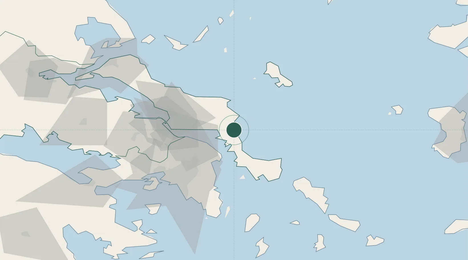
Nearby Logistics Neighbours

Cities
  1. 1Mylaki10 km
  2. 2Aliverio12 km
  3. 3Néa Stíra24 km
  4. 4Agia Marina Grammatikou Attikis26 km
  5. 5Kimi (Kými)27 km
Nearest neighbours — logibook spatial index (haversine) over the source coordinates
Ports
  1. 1Ormos Aliveriou12 km
  2. 2Piraievs70 km
  3. 3Gavrio75 km
  4. 4Lavrio79 km
  5. 5Kymassi79 km
Nearest neighbours — logibook spatial index (haversine) over the source coordinates
Airports
  1. 1Tanagra Air Base54 km
  2. 2Athens Eleftherios Venizelos International Airport56 km
  3. 3Elefsis Air Base66 km
  4. 4Skiros Airport68 km
  5. 5Skiathos Island National Airport105 km
Nearest neighbours — logibook spatial index (haversine) over the source coordinates
Trade Zones
  1. 1Free Zone of Piraeus71 km
  2. 2Izmir Free Zone240 km
  3. 3Izmir Ataturk Organized Industrial Zone249 km
  4. 4Aliaga Kimya Ihtisas ve Karma Organized Industrial Zone254 km
  5. 5Aegean Free Zone257 km
Nearest neighbours — logibook spatial index (haversine) over the source coordinates
DatabookThe Record of Consolidated Knowledge
Greece beyond logistics?
Browse databook

All Sources

LocationsUN/LOCODE
UN/LOCODE — free
Portsthe NGA World Port Index
Public domain (US gov)
AirportsOurAirports
Public domain
Trade Zonesthe World Bank SEZ database
CC BY 4.0
Trade ZonesOpen Zone Map
CC BY
← Greece locations