Transport Functions
Port
Hub Profile
Place type
Populated place
Region
Central Greece
Time zone
Europe/Athens
Elevation
17 m
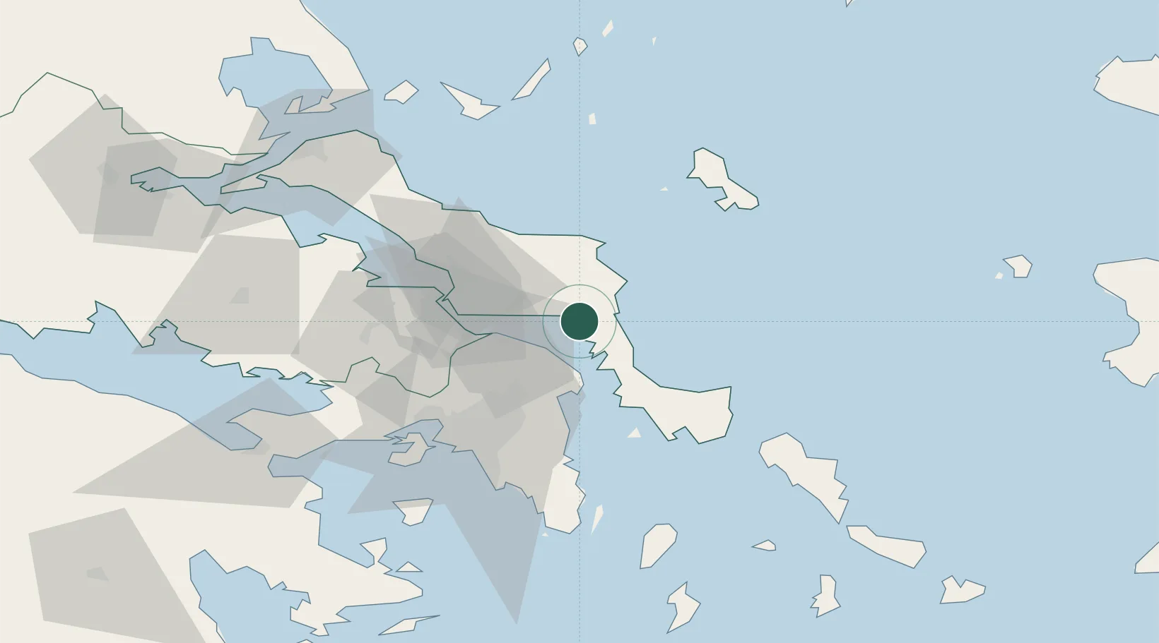
Location
Nearby Logistics Neighbours
Cities
- 1Aliverio2 km
- 2Petries Evvoias10 km
- 3Agia Marina Grammatikou Attikis22 km
- 4Erétria23 km
- 5Kapandrition25 km
Ports
- 1Ormos Aliveriou2 km
- 2Piraievs62 km
- 3Kymassi72 km
- 4Megara Oil Terminal74 km
- 5Lavrio76 km
Airports
Trade Zones
DatabookThe Record of Consolidated Knowledge
Greece beyond logistics?