Transport Functions
Port
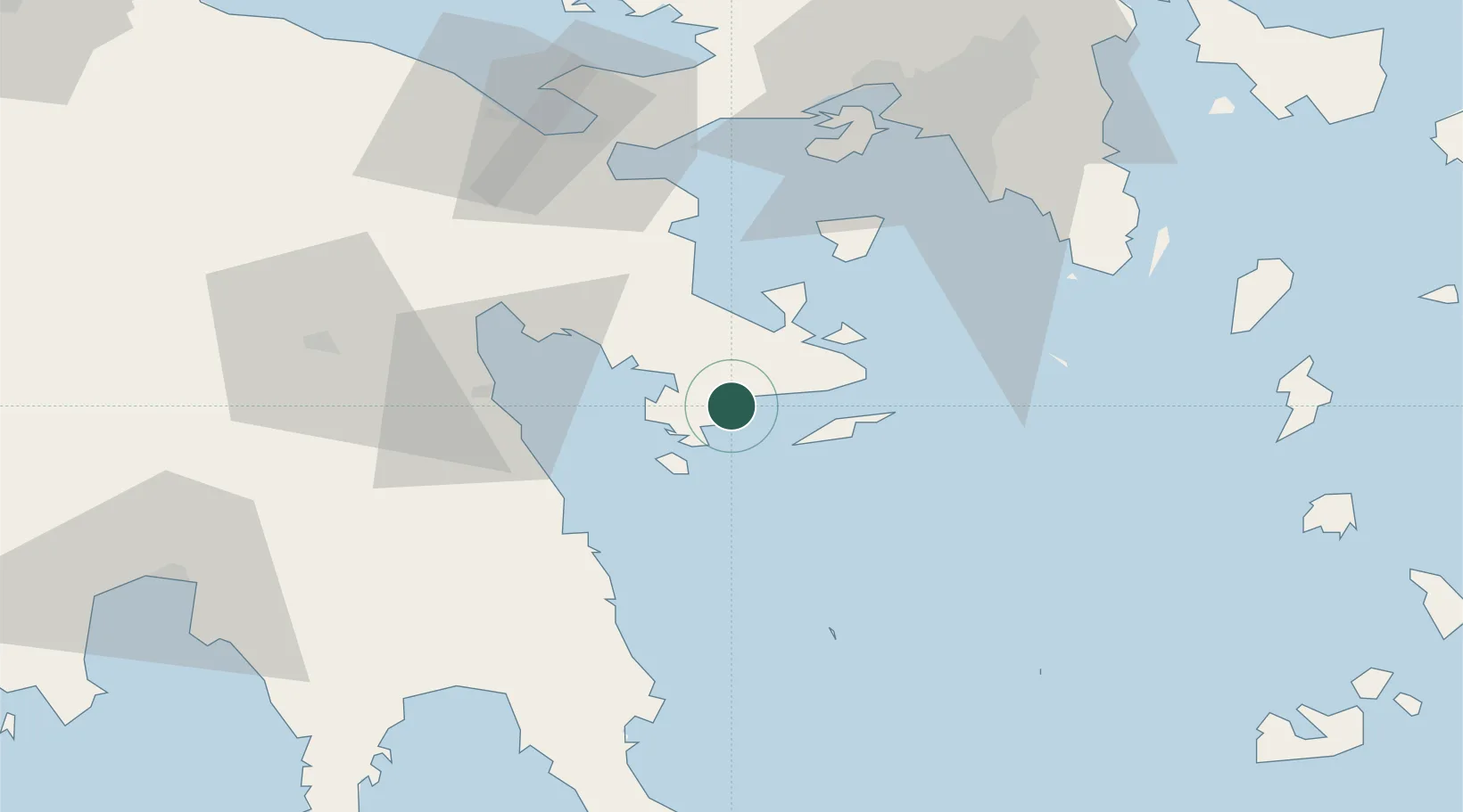
Hub Profile
Place type
Populated place
Region
Peloponnese
Population
2,505
Time zone
Europe/Athens
Elevation
16 m
Location
Nearby Logistics Neighbours
Cities
- 1Koilas Ermionidos11 km
- 2Kosta Ermionidas12 km
- 3Spétsai16 km
- 4Hydra (Idhra)20 km
- 5Galatas Troizinas22 km
Ports
- 1Navplio45 km
- 2Megara Oil Terminal66 km
- 3Piraievs71 km
- 4Lavrio80 km
- 5Yithion93 km
Airports
- 1Elefsis Air Base80 km
- 2Athens Eleftherios Venizelos International Airport87 km
- 3Tanagra Air Base110 km
- 4Kalamata Airport114 km
- 5Kithira Airport125 km
Trade Zones
DatabookThe Record of Consolidated Knowledge
Greece beyond logistics?