Transport Functions
Port
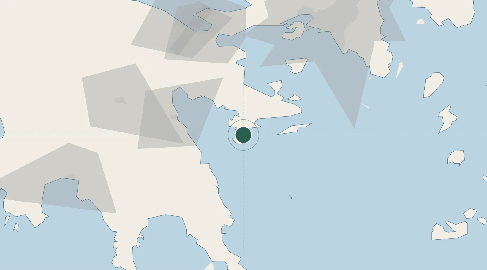
Location
Nearby Logistics Neighbours
Cities
- 1Spétsai4 km
- 2Ermióni12 km
- 3Koilas Ermionidos13 km
- 4Hydra (Idhra)27 km
- 5Leonídion29 km
Ports
- 1Navplio44 km
- 2Megara Oil Terminal77 km
- 3Yithion81 km
- 4Piraievs82 km
- 5Lavrio91 km
Airports
- 1Elefsis Air Base92 km
- 2Athens Eleftherios Venizelos International Airport99 km
- 3Kalamata Airport104 km
- 4Kithira Airport115 km
- 5Tanagra Air Base121 km
Trade Zones
DatabookThe Record of Consolidated Knowledge
Greece beyond logistics?