Transport Functions
Port
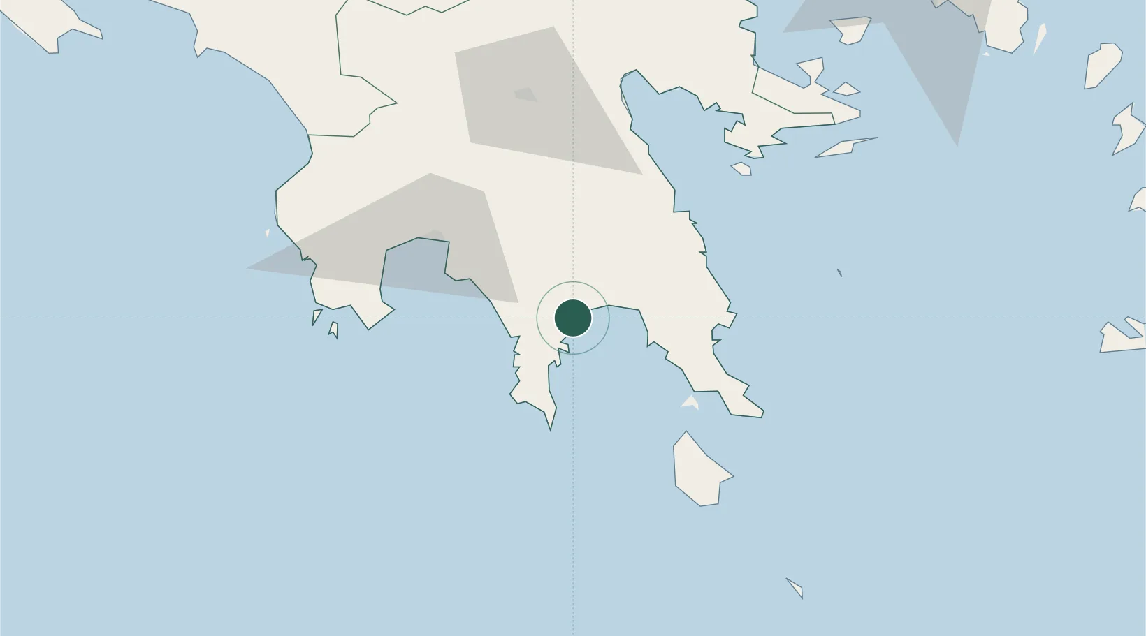
Location
Nearby Logistics Neighbours
Cities
- 1Xirokámbion25 km
- 2Pitra26 km
- 3Monemvasía44 km
- 4Elafonissos Lakonias46 km
- 5Kalamáta50 km
Ports
- 1Kalamata49 km
- 2Pilos82 km
- 3Navplio91 km
- 4Katakolon148 km
- 5Megara Oil Terminal152 km
Airports
- 1Kalamata Airport59 km
- 2Kithira Airport68 km
- 3Elefsis Air Base169 km
- 4Milos Airport170 km
- 5Andravida Air Base171 km
Trade Zones
- 1Free Zone of Piraeus160 km
- 2Free Zone of Platigiali (Astakos Etoloakarnanias)230 km
- 3Free Zone of Heraklion286 km
- 4Gjirokastër Freezone423 km
- 5Free Zone of Thessaloniki431 km
DatabookThe Record of Consolidated Knowledge
Greece beyond logistics?