Transport Functions
Port
Airport
Hub Profile
Place type
Provincial seat
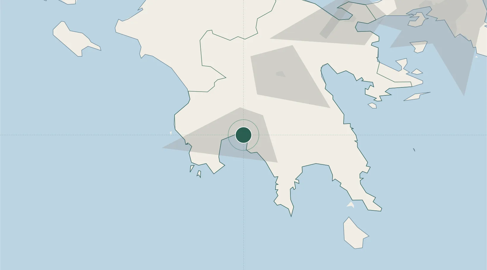
Region
Peloponnese
Population
54,100
Time zone
Europe/Athens
Elevation
26 m
Location
Nearby Logistics Neighbours
Cities
- 1Xirokámbion31 km
- 2Pýlos41 km
- 3Methoni43 km
- 4Kiparissia47 km
- 5Gythion50 km
Airports
- 1Kalamata Airport9 km
- 2Kithira Airport117 km
- 3Andravida Air Base123 km
- 4Zakynthos International Airport Dionysios Solomos135 km
- 5Patras Araxos Agamemnon Airport138 km
Trade Zones
- 1Free Zone of Piraeus167 km
- 2Free Zone of Platigiali (Astakos Etoloakarnanias)184 km
- 3Free Zone of Heraklion335 km
- 4Gjirokastër Freezone378 km
- 5Përmet Freezone388 km
DatabookThe Record of Consolidated Knowledge
Greece beyond logistics?