Transport Functions
Port
Multimodal
Hub Profile
Place type
Populated place
Region
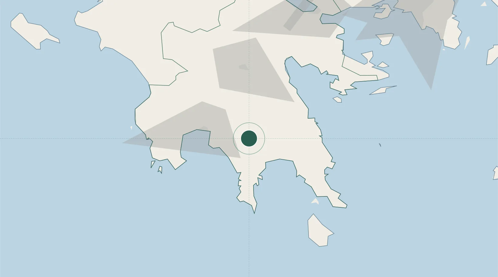
Peloponnese
Population
995
Time zone
Europe/Athens
Elevation
252 m
Location
Nearby Logistics Neighbours
Airports
- 1Kalamata Airport39 km
- 2Kithira Airport92 km
- 3Andravida Air Base147 km
- 4Elefsis Air Base156 km
- 5Patras Araxos Agamemnon Airport160 km
Trade Zones
- 1Free Zone of Piraeus150 km
- 2Free Zone of Platigiali (Astakos Etoloakarnanias)206 km
- 3Free Zone of Heraklion307 km
- 4Gjirokastër Freezone398 km
- 5Përmet Freezone407 km
DatabookThe Record of Consolidated Knowledge
Greece beyond logistics?