UN/LOCODE hub · Greece
GRPIT

Pitra

36.6833°, 22.8333°
1
Transport functions

Transport Functions

Port
UN/LOCODE

Hub Profile

Region
16
GeoNames

Location

Location of GRPIT
Natural Earth 10m (public domain) · 16 · GRPIT · 36.68, 22.83GoogleOSMYandex

Nearby Logistics Neighbours
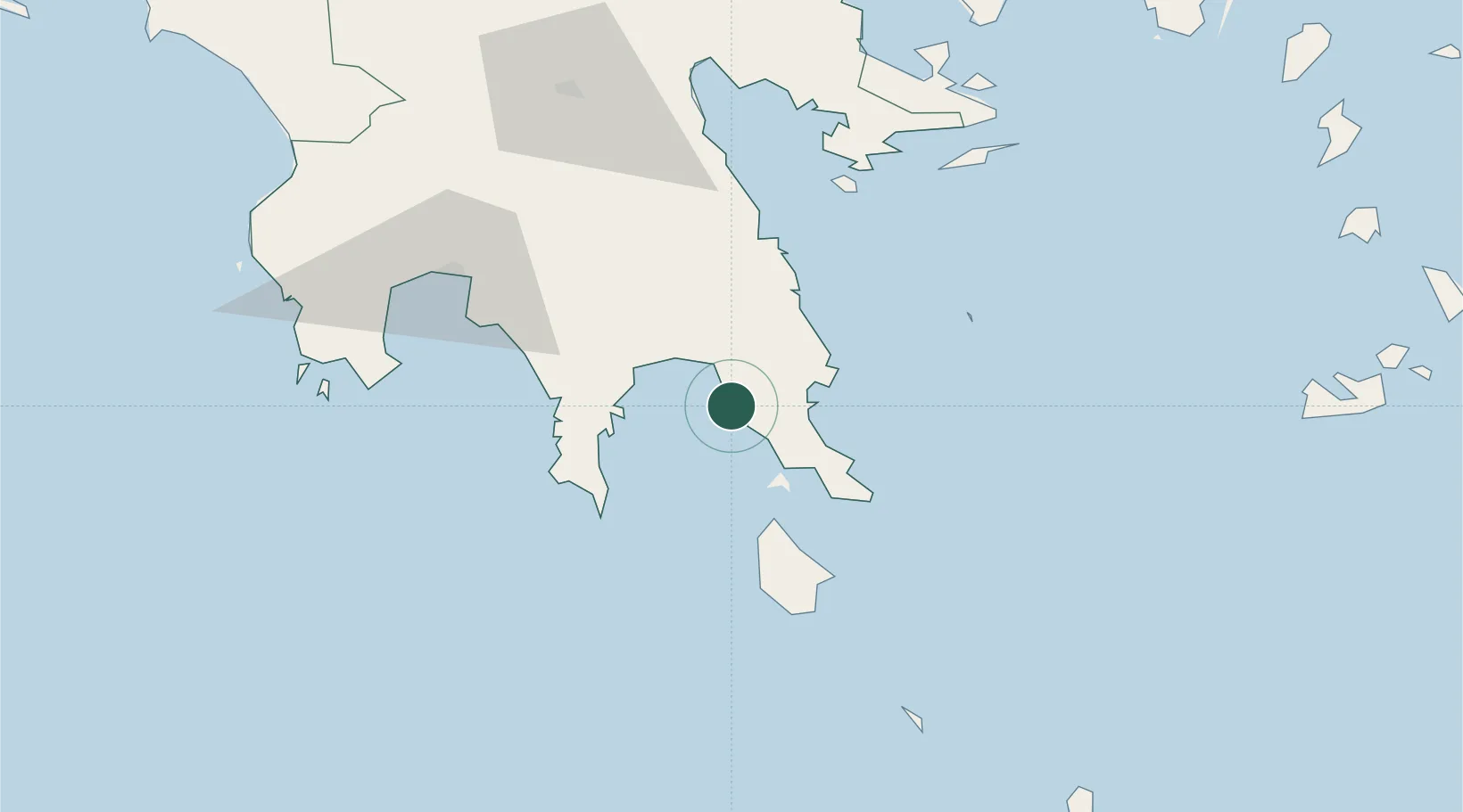
Cities
  1. 1Monemvasía19 km
  2. 2Elafonissos Lakonias23 km
  3. 3Gythion26 km
  4. 4Vatika Bay27 km
  5. 5Neapolis29 km
Nearest neighbours — logibook spatial index (haversine) over the source coordinates
Ports
  1. 1Yithion25 km
  2. 2Kalamata74 km
  3. 3Navplio98 km
  4. 4Pilos107 km
  5. 5Milos144 km
Nearest neighbours — logibook spatial index (haversine) over the source coordinates
Airports
  1. 1Kithira Airport48 km
  2. 2Kalamata Airport84 km
  3. 3Milos Airport147 km
  4. 4Elefsis Air Base166 km
  5. 5Athens Eleftherios Venizelos International Airport171 km
Nearest neighbours — logibook spatial index (haversine) over the source coordinates
Trade Zones
  1. 1Free Zone of Piraeus156 km
  2. 2Free Zone of Platigiali (Astakos Etoloakarnanias)251 km
  3. 3Free Zone of Heraklion261 km
  4. 4Izmir Free Zone420 km
  5. 5Aegean Free Zone421 km
Nearest neighbours — logibook spatial index (haversine) over the source coordinates
DatabookThe Record of Consolidated Knowledge
Greece beyond logistics?
Browse databook

All Sources

LocationsUN/LOCODE
UN/LOCODE — free
Portsthe NGA World Port Index
Public domain (US gov)
AirportsOurAirports
Public domain
Trade Zonesthe World Bank SEZ database
CC BY 4.0
Trade ZonesOpen Zone Map
CC BY
← Greece locations