UN/LOCODE hub · Greece
GRAGG

Agistri Aiginas

37.7167°, 23.3500°
1
Transport functions

Transport Functions

Port
UN/LOCODE

Hub Profile

Region
A1
GeoNames

Location

Location of GRAGG
Natural Earth 10m (public domain) · A1 · GRAGG · 37.72, 23.35GoogleOSMYandex

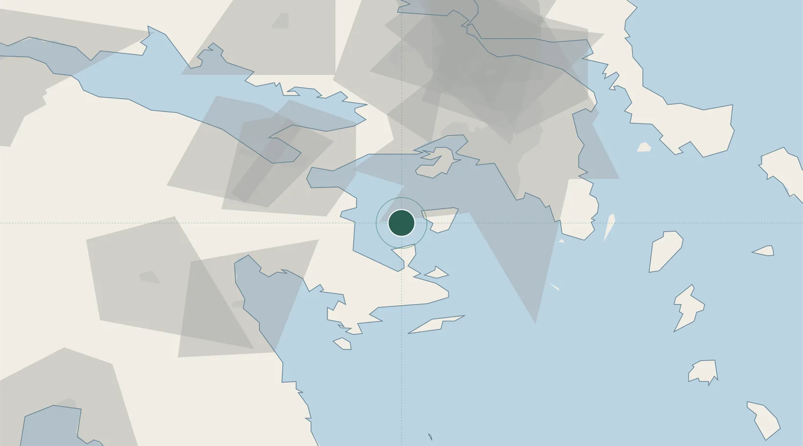
Nearby Logistics Neighbours

Cities
  1. 1Aegina6 km
  2. 2Souvala13 km
  3. 3Agia Marina Aiginas16 km
  4. 4Epidavros20 km
  5. 5Palaiá Epídavros20 km
Nearest neighbours — logibook spatial index (haversine) over the source coordinates
Ports
  1. 1Megara Oil Terminal28 km
  2. 2Piraievs36 km
  3. 3Navplio51 km
  4. 4Lavrio63 km
  5. 5Ormos Aliveriou96 km
Nearest neighbours — logibook spatial index (haversine) over the source coordinates
Airports
  1. 1Elefsis Air Base43 km
  2. 2Athens Eleftherios Venizelos International Airport58 km
  3. 3Tanagra Air Base72 km
  4. 4Kalamata Airport137 km
  5. 5Syros Airport145 km
Nearest neighbours — logibook spatial index (haversine) over the source coordinates
Trade Zones
  1. 1Free Zone of Piraeus34 km
  2. 2Free Zone of Platigiali (Astakos Etoloakarnanias)214 km
  3. 3Free Zone of Heraklion320 km
  4. 4Free Zone of Thessaloniki327 km
  5. 5Izmir Free Zone329 km
Nearest neighbours — logibook spatial index (haversine) over the source coordinates
DatabookThe Record of Consolidated Knowledge
Greece beyond logistics?
Browse databook

All Sources

LocationsUN/LOCODE
UN/LOCODE — free
Portsthe NGA World Port Index
Public domain (US gov)
AirportsOurAirports
Public domain
Trade Zonesthe World Bank SEZ database
CC BY 4.0
Trade ZonesOpen Zone Map
CC BY
← Greece locations