Transport Functions
Port
Hub Profile
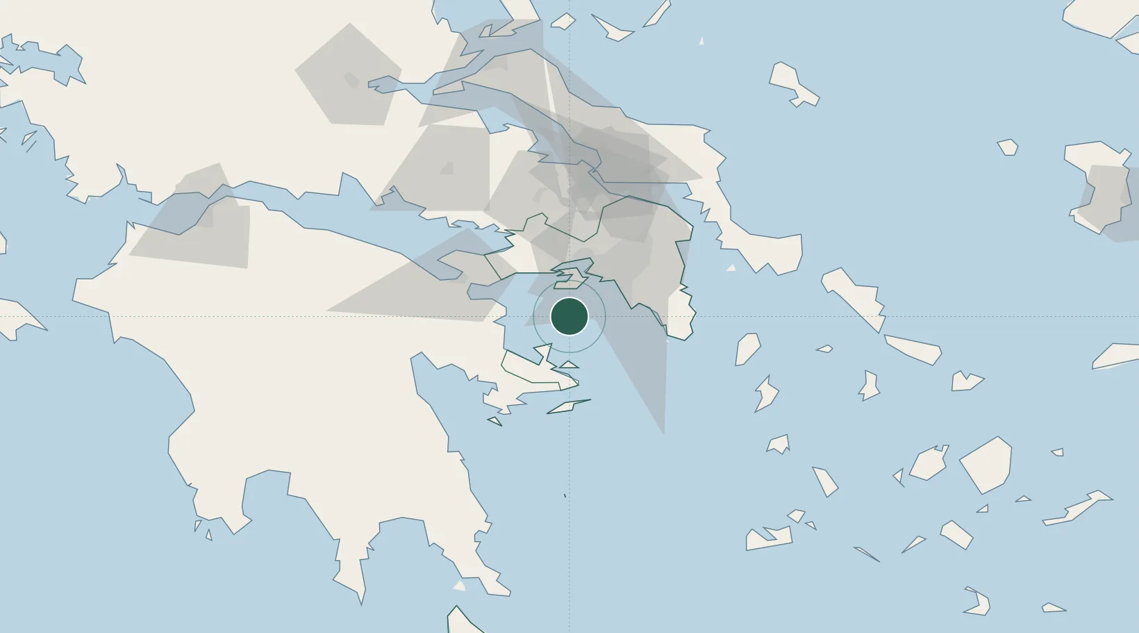
Place type
Populated place
Region
Attica
Time zone
Europe/Athens
Elevation
24 m
Location
Nearby Logistics Neighbours
Cities
- 1Agia Marina Aiginas6 km
- 2Aegina7 km
- 3Agistri Aiginas13 km
- 4Methana21 km
- 5Revithoussa22 km
Ports
- 1Megara Oil Terminal23 km
- 2Piraievs24 km
- 3Lavrio52 km
- 4Navplio64 km
- 5Ormos Aliveriou85 km
Airports
- 1Elefsis Air Base34 km
- 2Athens Eleftherios Venizelos International Airport45 km
- 3Tanagra Air Base64 km
- 4Syros Airport135 km
- 5Milos Airport148 km
Trade Zones
DatabookThe Record of Consolidated Knowledge
Greece beyond logistics?