Transport Functions
Port
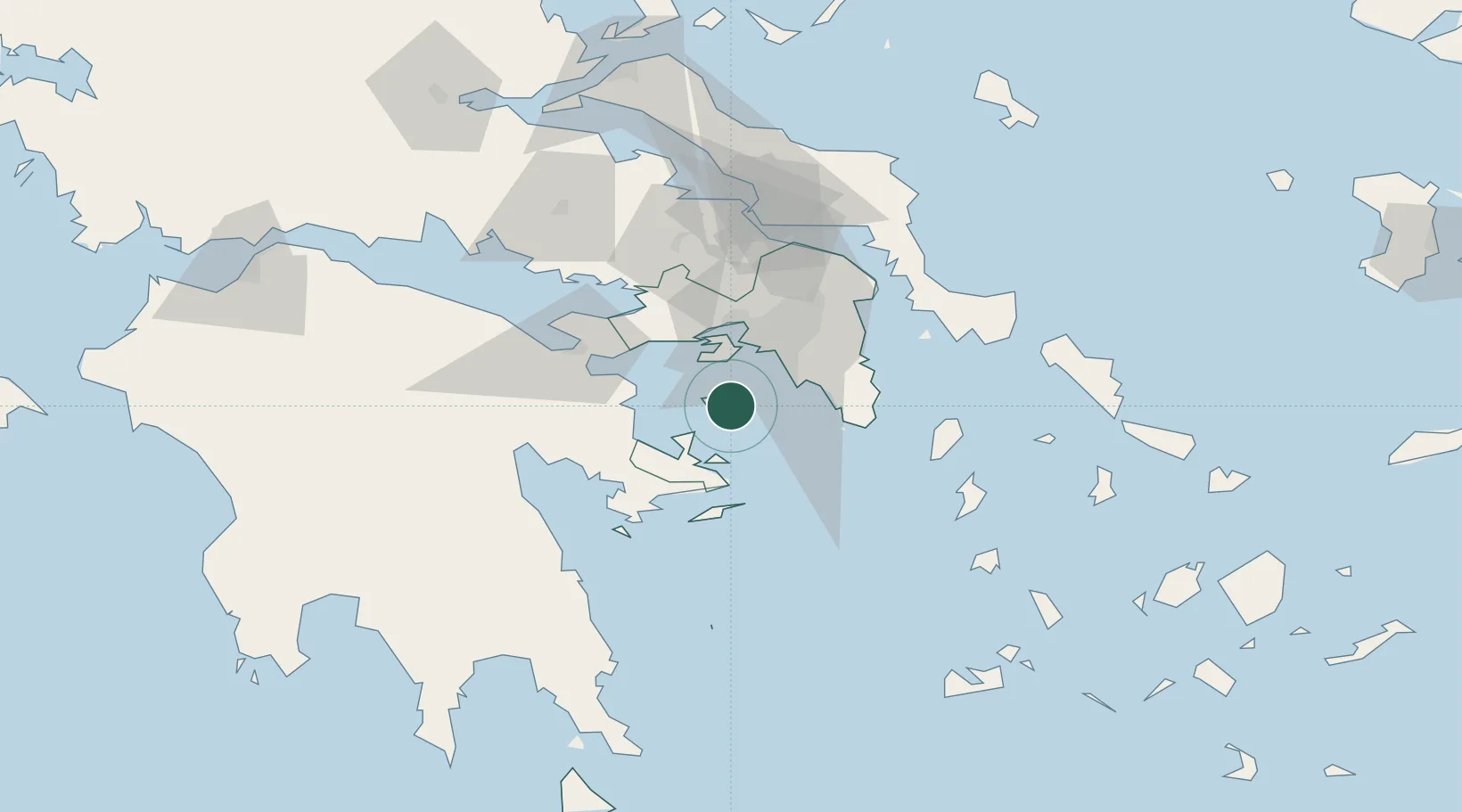
Location
Nearby Logistics Neighbours
Cities
- 1Souvala6 km
- 2Aegina10 km
- 3Agistri Aiginas16 km
- 4Methana17 km
- 5Vouliagméni24 km
Ports
- 1Piraievs25 km
- 2Megara Oil Terminal29 km
- 3Lavrio47 km
- 4Navplio67 km
- 5Ormos Aliveriou85 km
Airports
- 1Elefsis Air Base37 km
- 2Athens Eleftherios Venizelos International Airport43 km
- 3Tanagra Air Base68 km
- 4Syros Airport130 km
- 5Milos Airport142 km
Trade Zones
DatabookThe Record of Consolidated Knowledge
Greece beyond logistics?