Transport Functions
Port
Hub Profile
Place type
District seat
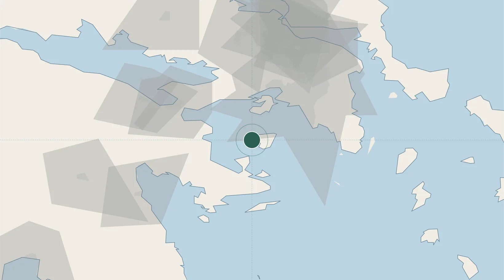
Region
Attica
Population
6,867
Time zone
Europe/Athens
Elevation
4 m
Location
Nearby Logistics Neighbours
Cities
- 1Agistri Aiginas6 km
- 2Souvala7 km
- 3Agia Marina Aiginas10 km
- 4Methana20 km
- 5Revithoussa24 km
Ports
- 1Megara Oil Terminal26 km
- 2Piraievs30 km
- 3Lavrio57 km
- 4Navplio57 km
- 5Ormos Aliveriou91 km
Airports
- 1Elefsis Air Base39 km
- 2Athens Eleftherios Venizelos International Airport52 km
- 3Tanagra Air Base69 km
- 4Syros Airport140 km
- 5Kalamata Airport143 km
Trade Zones
- 1Free Zone of Piraeus29 km
- 2Free Zone of Platigiali (Astakos Etoloakarnanias)219 km
- 3Free Zone of Heraklion318 km
- 4Izmir Free Zone323 km
- 5Free Zone of Thessaloniki326 km
DatabookThe Record of Consolidated Knowledge
Greece beyond logistics?