Transport Functions
Port
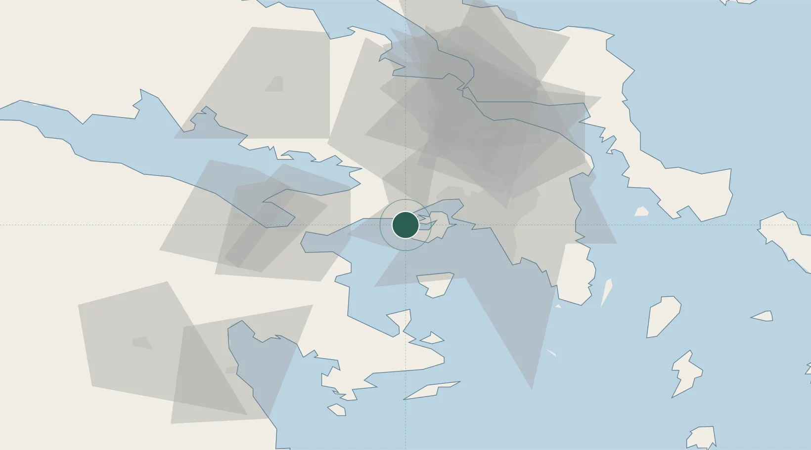
Location
Nearby Logistics Neighbours
Cities
- 1Pachi4 km
- 2Faneromeni Salaminas5 km
- 3Salamís9 km
- 4Paloúkia13 km
- 5Eleusina16 km
Ports
- 1Megara Oil Terminal2 km
- 2Piraievs24 km
- 3Lavrio66 km
- 4Navplio67 km
- 5Ormos Aliveriou76 km
Airports
- 1Elefsis Air Base20 km
- 2Tanagra Air Base46 km
- 3Athens Eleftherios Venizelos International Airport49 km
- 4Skiathos Island National Airport137 km
- 5Skiros Airport149 km
Trade Zones
DatabookThe Record of Consolidated Knowledge
Greece beyond logistics?