Transport Functions
Port
Road
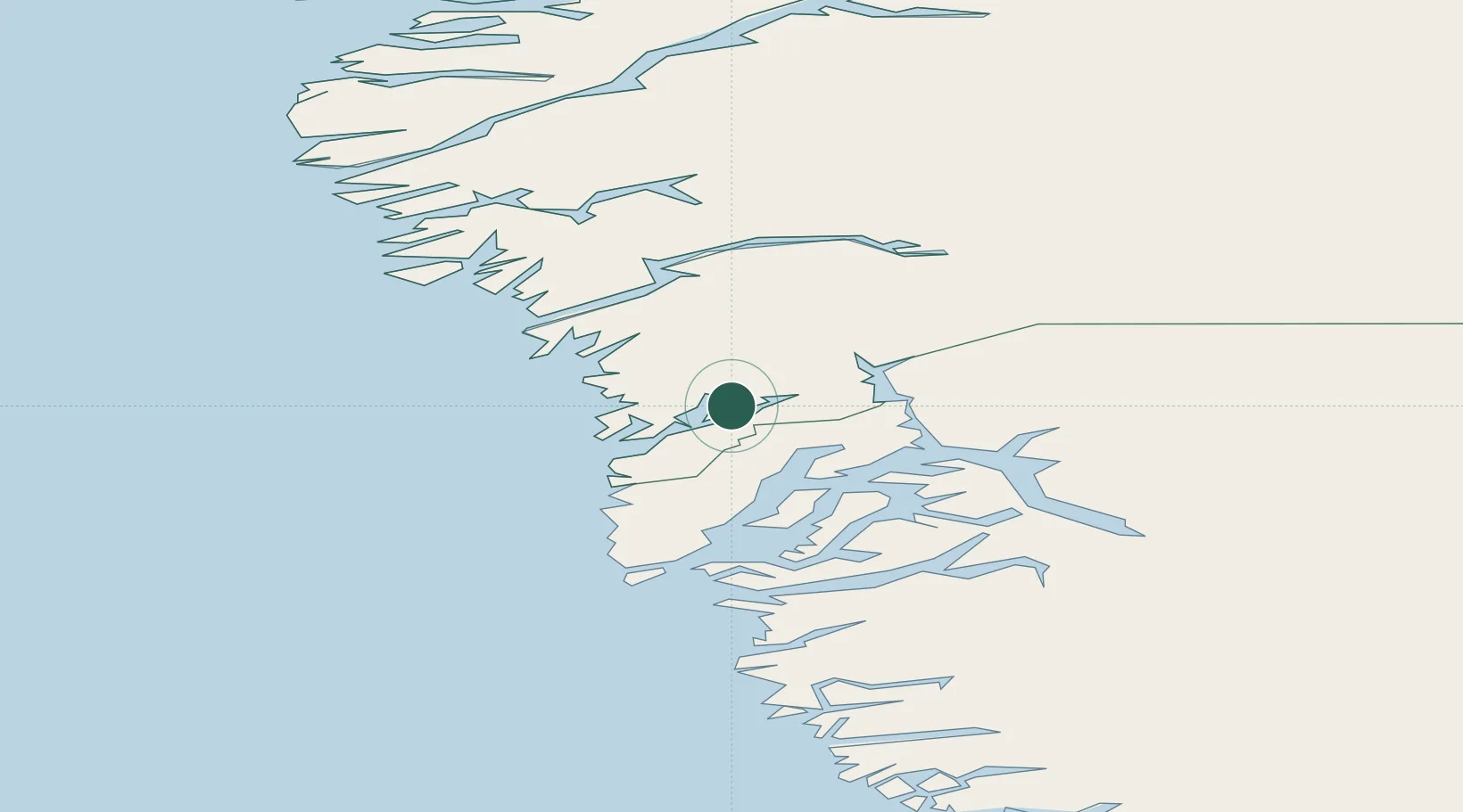
Location
Nearby Logistics Neighbours
Cities
- 1Toqqusaq32 km
- 2Nuuk (Godthaab)88 km
- 3Kangerlussuaq Havn224 km
- 4Nalunaq Gold Mine618 km
- 5Maarmorliik686 km
Ports
- 1Maniitsoq80 km
- 2Nuuk88 km
- 3Faeringehavn143 km
- 4Soendre Stroemfjord222 km
- 5Sisimiut237 km
Airports
- 1Maniitsoq Airport81 km
- 2Nuuk International Airport86 km
- 3Kangerlussuaq International Airport231 km
- 4Sisimiut Airport241 km
- 5Paamiut Airport341 km
Trade Zones
- 1Crossroads Business Park1790 km
- 2Cape Breton Regional Municipality Foreign Trade Zone2164 km
- 3FTZ No. 179 Madawaska2208 km
- 4Québec City FTZ2338 km
- 5Saint John2363 km
DatabookThe Record of Consolidated Knowledge
Greenland beyond logistics?