Transport Functions
Multimodal
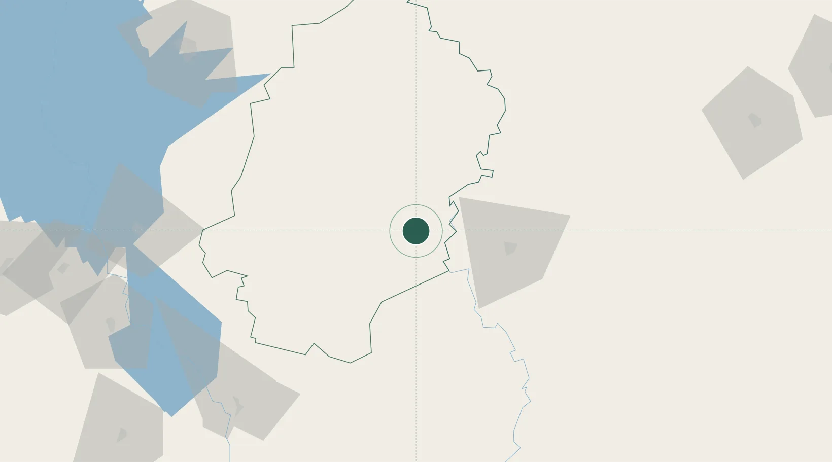
Hub Profile
Place type
Provincial seat
Region
Ogun State
Population
360,000
Time zone
Africa/Lagos
Elevation
74 m
Location
Nearby Logistics Neighbours
Ports
- 1Abidjan174 km
- 2Port Bouet176 km
- 3Espoir Marine Terminal205 km
- 4Baobab Marine Terminal217 km
- 5Sekondi323 km
Airports
- 1Yamoussoukro International Airport158 km
- 2Bouaké Airport162 km
- 3Félix-Houphouët-Boigny International Airport173 km
- 4Sunyani Airport187 km
- 5Prempeh I International Airport259 km
Trade Zones
- 1Bouaké Economic Zone151 km
- 2Yamoussoukro Industrial Park153 km
- 3PK 24 Industrial Park158 km
- 4Koumassi Industrial Park170 km
- 5Vridi Industrial Park173 km
DatabookThe Record of Consolidated Knowledge
Nigeria beyond logistics?