UN/LOCODE hub · Côte d’Ivoire
CIAGB
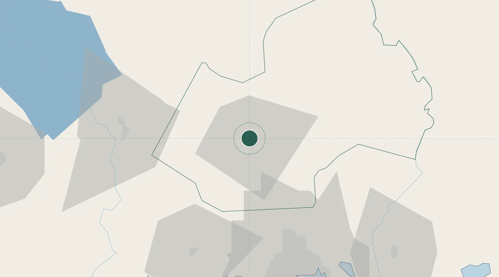
Agboville
5.9333°, -4.2167°
81,770
Population
2
Transport functions
Transport Functions
Rail
Road
Hub Profile
Place type
Provincial seat
Region
Lagunes District
Population
81,770
Time zone
Africa/Abidjan
Elevation
35 m
Location
Nearby Logistics Neighbours
Cities
- 1Cocody69 km
- 2Abidjan70 km
- 3Dabou71 km
- 4Vridi80 km
- 5Port-Bouët81 km
Ports
- 1Abidjan79 km
- 2Port Bouet83 km
- 3Espoir Marine Terminal102 km
- 4Baobab Marine Terminal114 km
- 5San Pedro297 km
Airports
- 1Félix-Houphouët-Boigny International Airport81 km
- 2Yamoussoukro International Airport167 km
- 3Bouaké Airport222 km
- 4Sunyani Airport262 km
- 5Daloa Airport267 km
Trade Zones
- 1PK 24 Industrial Park59 km
- 2Koumassi Industrial Park78 km
- 3Vridi Industrial Park78 km
- 4Mahatma Ghandi Free Trade Zone93 km
- 5Bonoua Industrial Park102 km
DatabookThe Record of Consolidated Knowledge
Côte d’Ivoire beyond logistics?