Transport Functions
Rail
Road
Hub Profile
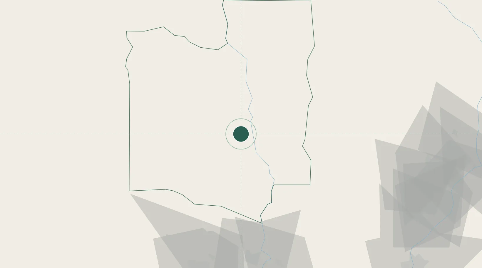
Place type
Populated place
Region
Collines
Population
20,036
Time zone
Africa/Porto-Novo
Elevation
180 m
Location
Nearby Logistics Neighbours
Cities
- 1Bohicon89 km
- 2Adekunle114 km
- 3Cotonou167 km
- 4Ado Odo167 km
- 5Porto-Novo169 km
Ports
- 1Cotonou180 km
- 2Lagos212 km
- 3Tin Can Island214 km
- 4Kpeme215 km
- 5Lome233 km
Airports
Trade Zones
DatabookThe Record of Consolidated Knowledge
Benin beyond logistics?