UN/LOCODE hub · United Kingdom
GBWBW
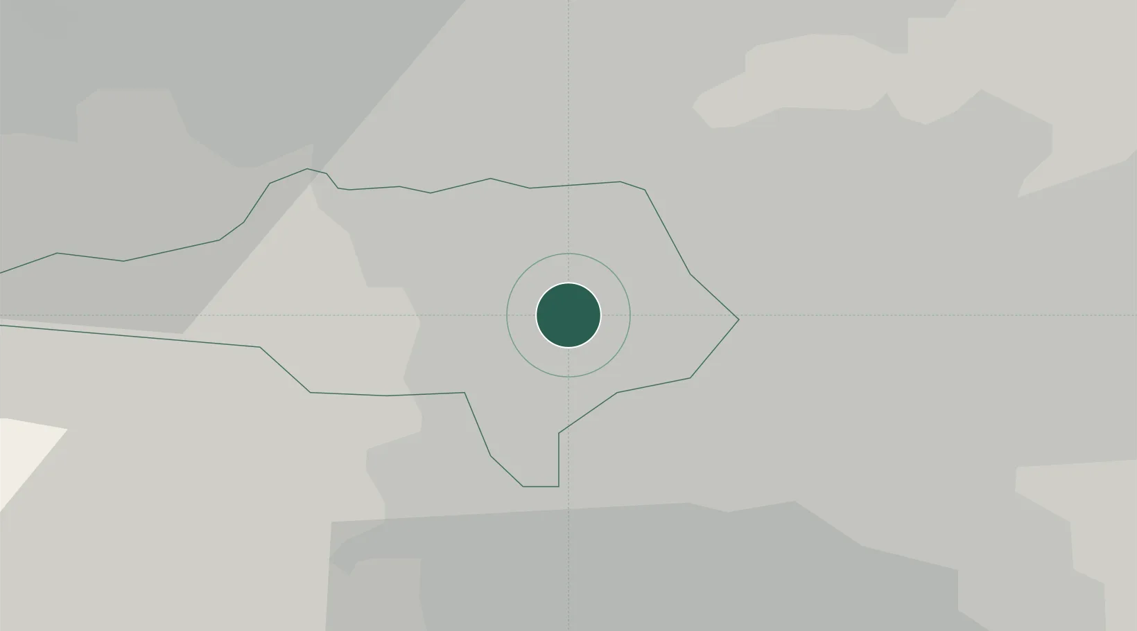
Wombwell
53.5167°, -1.4000°
15,518
Population
2
Transport functions
Transport Functions
Rail
Road
Hub Profile
Place type
Populated place
Region
England
Population
15,518
Time zone
Europe/London
Elevation
53 m
Location
Nearby Logistics Neighbours
Cities
- 1Bottesford6 km
- 2Goldthorpe7 km
- 3Barnsley7 km
- 4Thurnscoe7 km
- 5Chapeltown7 km
Ports
- 1Howdendyke42 km
- 2Goole43 km
- 3Manchester57 km
- 4New Holland71 km
- 5Kingston Upon Hull78 km
Airports
- 1Leeds East Airport38 km
- 2Leeds Bradford Airport43 km
- 3Manchester Airport61 km
- 4Nottingham City Airport70 km
- 5Humberside Airport70 km
DatabookThe Record of Consolidated Knowledge
United Kingdom beyond logistics?