Transport Functions
Road
Multimodal
Hub Profile
Place type
Populated place
Region
England
Time zone
Europe/London
Elevation
180 m
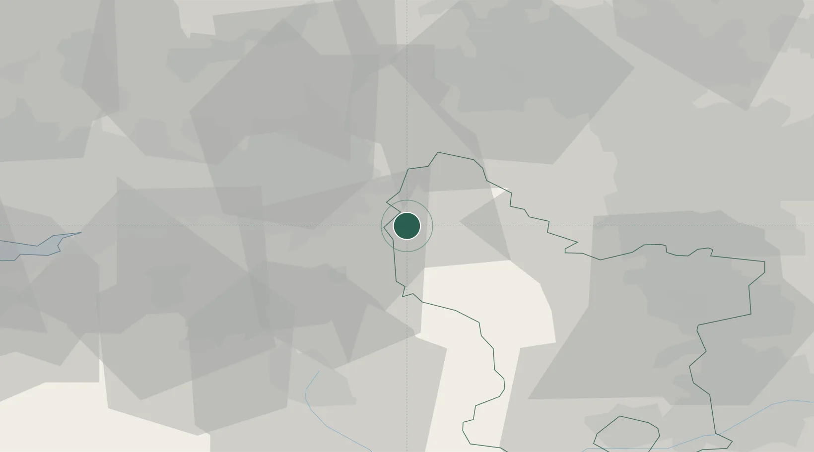
Location
Nearby Logistics Neighbours
Cities
- 1New Mills3 km
- 2Marple8 km
- 3Hadfield9 km
- 4Pott Shrigley10 km
- 5Stockport13 km
Ports
- 1Manchester24 km
- 2Garlston62 km
- 3Liverpool69 km
- 4Howdendyke82 km
- 5Goole84 km
Airports
- 1Manchester Airport21 km
- 2Liverpool John Lennon Airport59 km
- 3Leeds Bradford Airport59 km
- 4Hawarden Airport70 km
- 5Leeds East Airport73 km
DatabookThe Record of Consolidated Knowledge
United Kingdom beyond logistics?