Transport Functions
Road
Multimodal
Hub Profile
Place type
District seat
Region
England
Time zone
Europe/London
Elevation
198 m
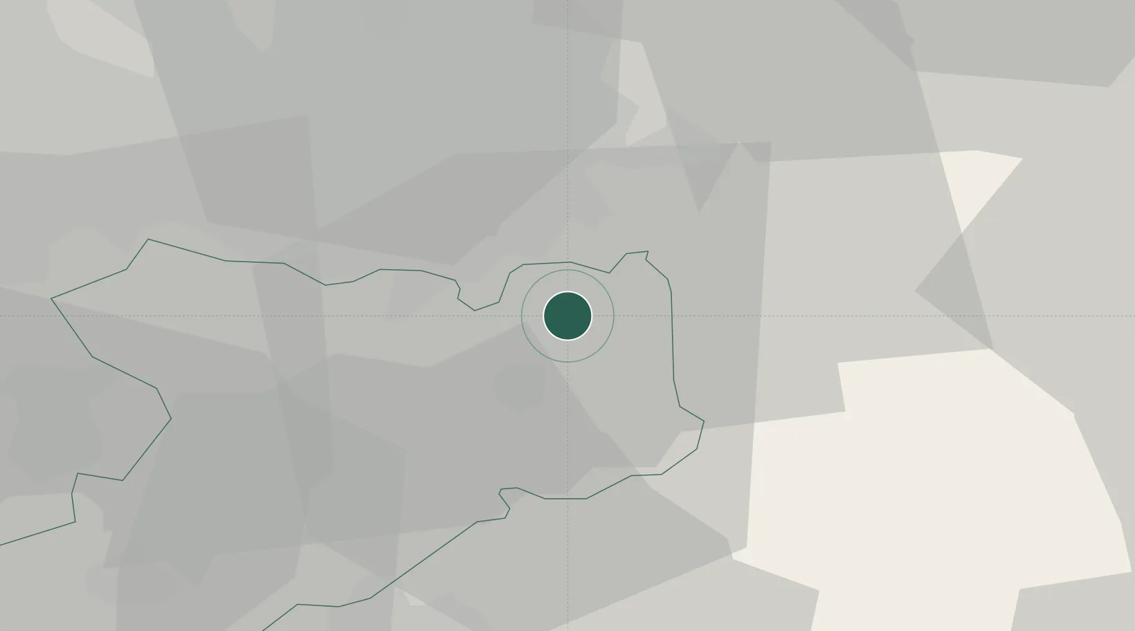
Location
Nearby Logistics Neighbours
Cities
- 1Prestbury6 km
- 2Bramhall8 km
- 3Cheadle Hulme9 km
- 4Marple9 km
- 5Birch Vale10 km
Ports
- 1Manchester22 km
- 2Garlston54 km
- 3Liverpool62 km
- 4Mostyn79 km
- 5Fleetwood91 km
Airports
- 1Manchester Airport14 km
- 2Liverpool John Lennon Airport51 km
- 3Hawarden Airport62 km
- 4Leeds Bradford Airport67 km
- 5RAF Shawbury70 km
DatabookThe Record of Consolidated Knowledge
United Kingdom beyond logistics?