Transport Functions
Rail
Road
Hub Profile
Place type
Populated place
Region
England
Time zone
Europe/London
Elevation
156 m
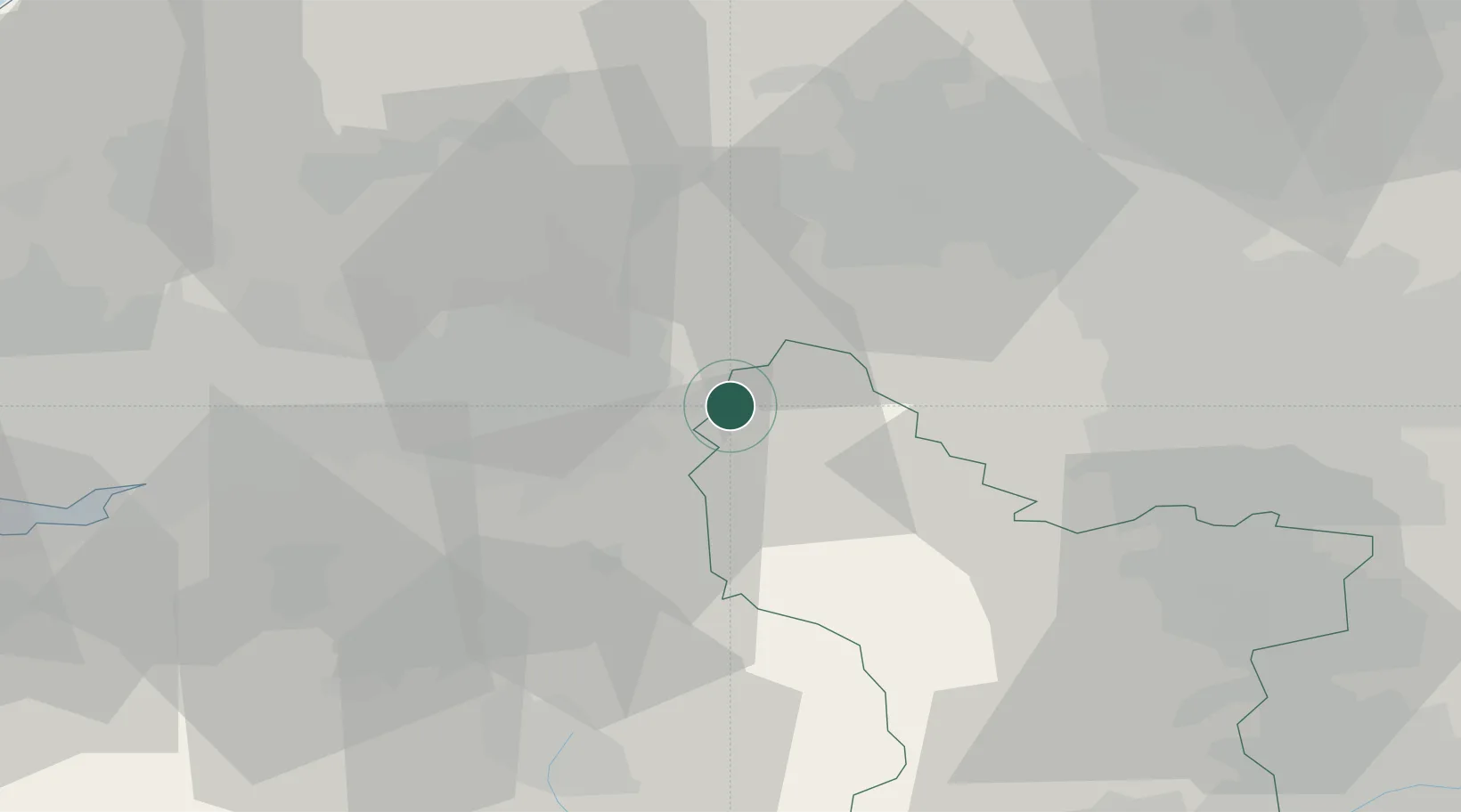
Location
Nearby Logistics Neighbours
Cities
- 1Mossley8 km
- 2Tameside9 km
- 3Marple9 km
- 4Audenshaw9 km
- 5Birch Vale9 km
Ports
- 1Manchester20 km
- 2Garlston63 km
- 3Liverpool69 km
- 4Howdendyke78 km
- 5Goole80 km
Airports
- 1Manchester Airport24 km
- 2Leeds Bradford Airport51 km
- 3Liverpool John Lennon Airport60 km
- 4Leeds East Airport67 km
- 5Warton Aerodrome69 km
DatabookThe Record of Consolidated Knowledge
United Kingdom beyond logistics?