UN/LOCODE hub · United Kingdom
GBLWC

Lulworth Cove

50.6667°, -2.2167°
1
Transport functions

Transport Functions

Port
UN/LOCODE

Hub Profile

Region
DOR
GeoNames

Location

Location of GBLWC
Natural Earth 10m (public domain) · DOR · GBLWC · 50.67, -2.22GoogleOSMYandex

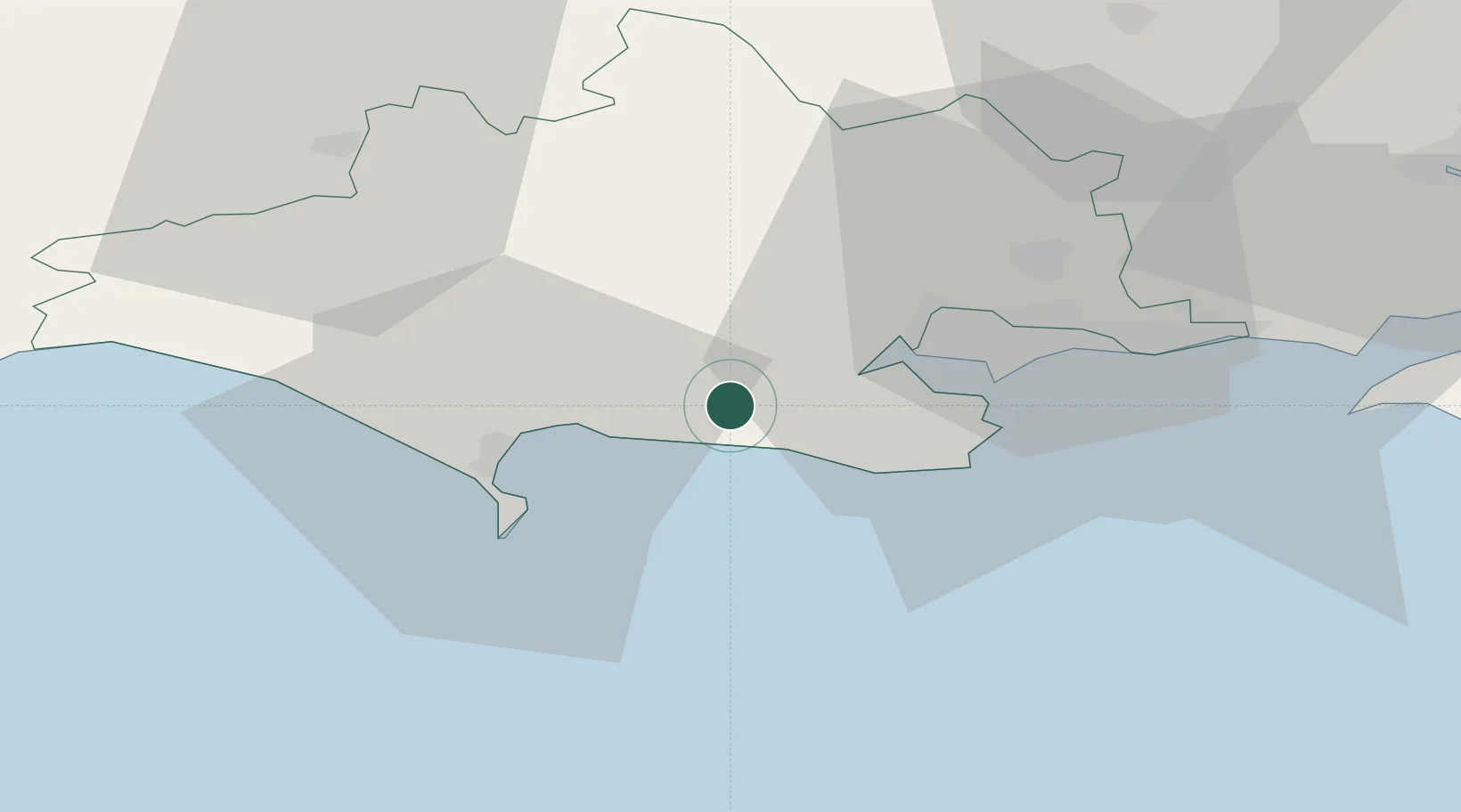
Nearby Logistics Neighbours

Cities
  1. 1Lulworth Camp4 km
  2. 2Wareham7 km
  3. 3Kimmeridge9 km
  4. 4Furzebrook10 km
  5. 5Broadmayne12 km
Nearest neighbours — logibook spatial index (haversine) over the source coordinates
Ports
  1. 1Weymouth Harbour17 km
  2. 2Portland Harbour18 km
  3. 3Poole Harbour19 km
  4. 4Bridport Harbour39 km
  5. 5Yarmouth Harbour51 km
Nearest neighbours — logibook spatial index (haversine) over the source coordinates
Airports
  1. 1Bournemouth Airport29 km
  2. 2RNAS Yeovilton48 km
  3. 3MoD Boscombe Down63 km
  4. 4Southampton Airport68 km
  5. 5Exeter International Airport85 km
Nearest neighbours — logibook spatial index (haversine) over the source coordinates
Trade Zones
  1. 1Dorset Innovation Park3 km
  2. 2Southampton Free Zone61 km
  3. 3EZ³ Enterprise Zone80 km
  4. 4Solent Enterprise Zone82 km
  5. 5Exeter & East Devon Enterprise Zone88 km
Nearest neighbours — logibook spatial index (haversine) over the source coordinates
DatabookThe Record of Consolidated Knowledge
United Kingdom beyond logistics?
Browse databook

All Sources

LocationsUN/LOCODE
UN/LOCODE — free
Portsthe NGA World Port Index
Public domain (US gov)
AirportsOurAirports
Public domain
Trade Zonesthe World Bank SEZ database
CC BY 4.0
Trade ZonesOpen Zone Map
CC BY
← United Kingdom locations